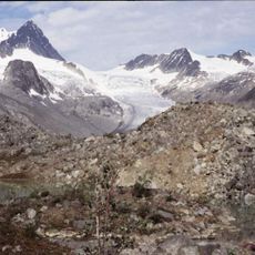
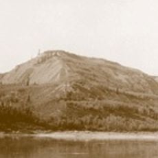
Sahtu Region, Administrative region in Northwest Territories, Canada
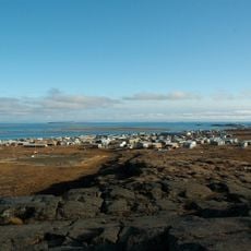
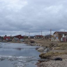
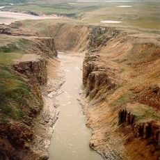
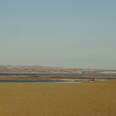
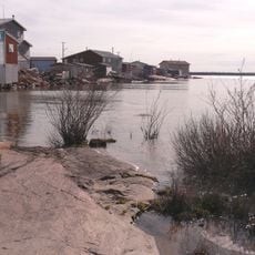
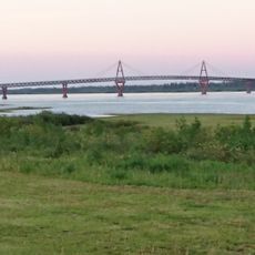
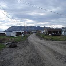
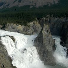
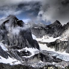
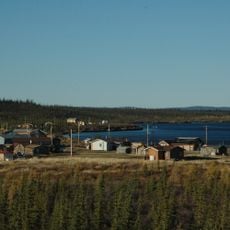
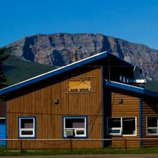
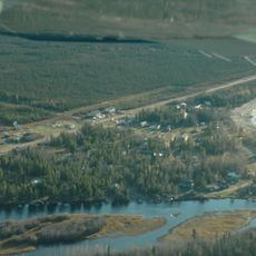
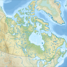
The Sahtu Region is an administrative region in the Northwest Territories that spans vast wilderness areas featuring the Mackenzie River, Great Bear Lake, and mountain ranges. The territory encompasses five communities spread across the land, each with distinct characteristics shaped by the waterways and terrain surrounding them.
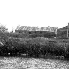
Indigenous Dene peoples inhabited the area for centuries before the United States Army briefly developed oil resources during World War II through the Canol Project. This industrial intervention ended quickly, leaving the region to return to its traditional character.
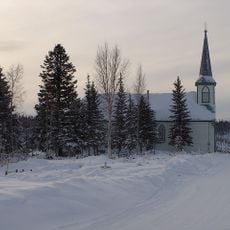
The five communities here maintain traditions rooted in Sahtu Dene and Metis heritage that shape how residents live with and relate to the land. These practices reflect a deep connection to hunting, fishing, and the rhythms of the natural world that continues to influence the region today.
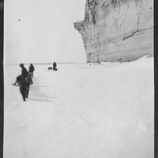
The region relies on seasonal winter and ice roads for transportation, as permanent roads do not connect the communities to the rest of Canada. Visitors should expect limited transport options and plan around the conditions that seasonal access creates throughout the year.
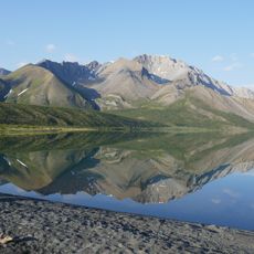
Great Bear Lake is the largest body of water entirely within Canadian borders and holds populations of large trout species in its cold depths. The frigid conditions of this deep lake support fish species adapted to extreme northern environments that few visitors encounter elsewhere.
The community of curious travelers
AroundUs brings together thousands of curated places, local tips, and hidden gems, enriched daily by 60,000 contributors worldwide.