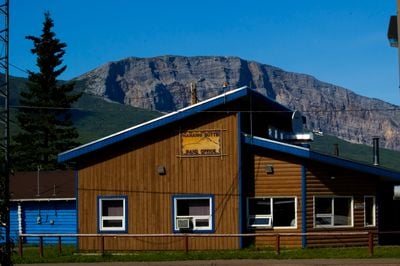
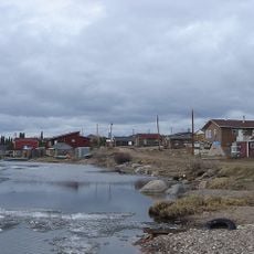
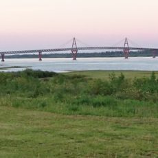
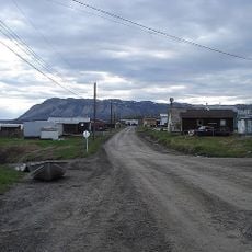
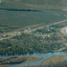
Nahanni Butte, Indigenous settlement at the confluence of South Nahanni and Liard Rivers, Northwest Territories, Canada.
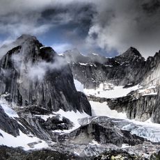
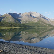
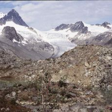
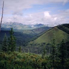
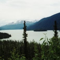
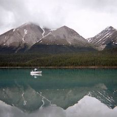
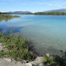
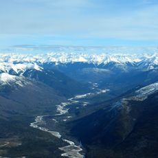
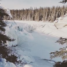
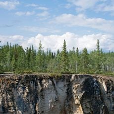
Nahanni Butte is a small settlement where the South Nahanni and Liard Rivers meet, with a steep ridge rising prominently above the landscape. The community occupies land where waterways and terrain create a distinct geographical setting.
The settlement was founded in the late 1950s when the Canadian government moved residents from Netla River to this location, establishing a permanent community. This relocation reshaped how the area was inhabited and organized.
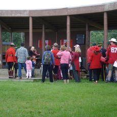
The Dene people here continue hunting and fishing as their ancestors did, skills woven into daily life and community identity. These practices remain central to how residents relate to the land and seasons.
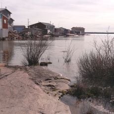
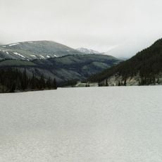
Reaching this location requires river taxis in summer to cross the Liard River, while winter travel depends on ice roads. Visitors should prepare for limited accessibility and plan visits according to seasonal conditions.
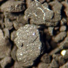
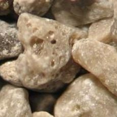
The surrounding landscape holds traces of old gold mining sites from the territory's mining days, with stories of prospectors scattered through the region's history. These remnants blend into the wilderness and offer glimpses of past economic activity.
The community of curious travelers
AroundUs brings together thousands of curated places, local tips, and hidden gems, enriched daily by 60,000 contributors worldwide.