Stone Mountain Provincial Park, Provincial park in Northern Rockies Regional Municipality, Canada.
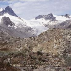
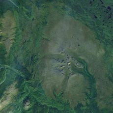
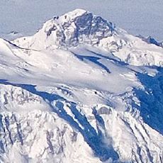
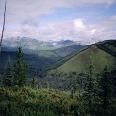
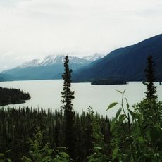
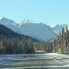
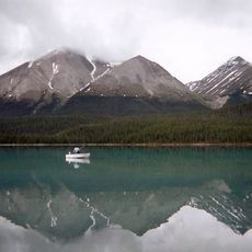
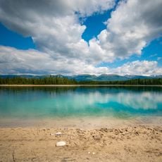
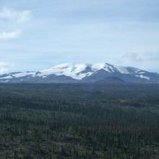
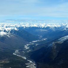
Stone Mountain Provincial Park covers 256.91 square kilometres of the northern Canadian Rockies, where the Alaska Highway crosses between kilometres 594 and 609 and reaches its highest point, 1,295 m, at Summit Pass. The park holds the upper valleys of MacDonald Creek and the North Tetsa River, with Summit Lake, Rocky Crest Lake, Flower Springs Lake and the Upper Lakes. Mount Saint George (2,261 m) rises above Summit Lake, and Saint Magnus Peak reaches 2,550 m in the south.
The area served as traditional hunting and gathering territory for the Métis Nation and Dene First Nations, who followed seasonal movement patterns across the landscape. European settlement in the 1800s disrupted these long-established ways of living.
Local Indigenous groups have maintained their connection to the landscape over centuries through hunting practices and seasonal use of the land. This relationship continues to shape how people move through and understand the park today.
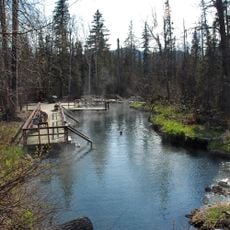
The park sits along the Alaska Highway with designated camping areas and marked trails suited to different ability levels. Nearby Fort Nelson offers lodging and supply options for travelers planning their visit.
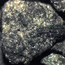
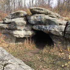
The Erosion Pillars Trail, a 1 km walk from the Alaska Highway at km 609, leads to hoodoos beside Rocky Crest Lake. The park's bedrock is limestone and quartzite, and the surrounding alpine tundra is kept treeless by a short growing season and severe weather.
The community of curious travelers
AroundUs brings together thousands of curated places, local tips, and hidden gems, enriched daily by 94,154 contributors worldwide.