Chinchaga Wildland Provincial Park, Provincial park in Clear Hills County, Canada.
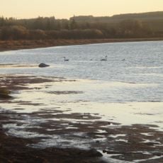
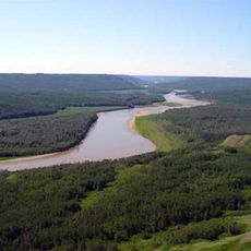
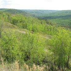
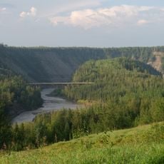
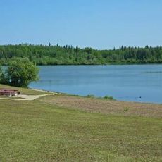
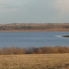
Chinchaga Wildland Provincial Park is a 802.7 square kilometre protected tract in Clear Hills County, northwestern Alberta, about 12 kilometres east of the British Columbia border. The upper Chinchaga River forms its northern boundary and the slopes of Halverson Ridge its southern edge. Elevations run from under 700 metres at the river to over 1,050 metres on the ridge, and the park has no formal roads.
A massive forest fire struck the region in 1950, becoming one of North America's largest recorded wildfires and reshaping the landscape for decades. The area gained protected status in 1999.
The Chinchaga area was used mainly by small populations of First Nations and Métis for hunting before the park existed. The name Chinchaga comes from the river that forms the park's northern border. Visitors today see a landscape shaped by that use and by later oil and gas exploration, whose seismic cut lines cross the park.
A four-wheel-drive vehicle is essential, as the Chinchaga Forestry Road remains the main route into this remote area. Summer and early fall offer the most reliable access and travel conditions.
The 1950 Chinchaga fire burned from 1 June until the end of October and covered 1.7 million hectares, the largest burned area of any recorded fire in North America. Its ignition point lay north of Fort St. John, British Columbia, where an Imperial Oil surveying crew was working; slash burning from land clearing is another suggested cause.
The community of curious travelers
AroundUs brings together thousands of curated places, local tips, and hidden gems, enriched daily by 93,375 contributors worldwide.