Northern Rockies Regional Municipality
Northern Rockies Regional Municipality, Regional municipality in northeastern British Columbia, Canada
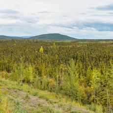
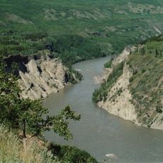
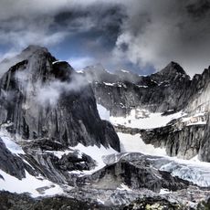
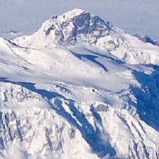
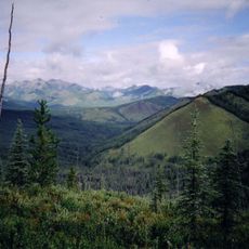
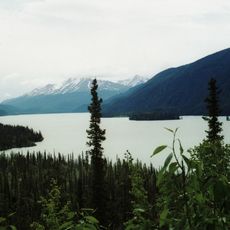
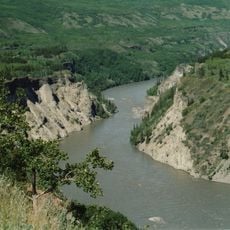
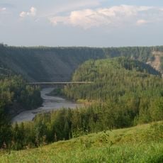
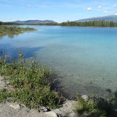
Northern Rockies Regional Municipality spans a vast area at the northern edge of the Canadian Rocky Mountains in British Columbia. The territory is sparsely populated and traversed by the Alaska Highway, which connects its main settlements.
The municipality was established in 2009 through a merger that created British Columbia's first regional municipality of its kind. This consolidation brought together local governance structures to better manage the northern territory's development.
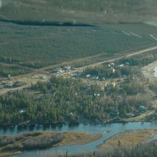
The territory is deeply connected to First Nations communities whose traditions shape daily life and local identity. The presence of the Fort Nelson First Nation and Prophet River First Nation is woven throughout the region's culture and heritage.
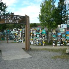
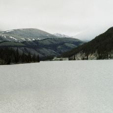
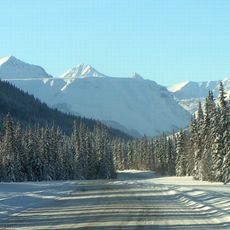
The area is relatively remote and accessed primarily via the Alaska Highway, so visitors should plan trips carefully. Winter conditions can be challenging and require preparation for traveling through isolated landscapes.
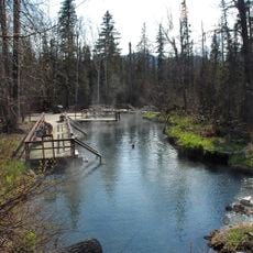
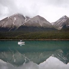
Within the territory sits Liard River Hot Springs Provincial Park, featuring natural hot mineral pools that stay warm year-round. These geothermal springs are a rare feature in this northern region and draw visitors seeking the therapeutic qualities of the water.
Location: British Columbia
Shares border with: Peace River Regional District, County of Northern Lights, Mackenzie County, Dehcho Region, Stikine Region
Website: https://northernrockies.ca
GPS coordinates: 59.00000,-123.75000
Latest update: December 10, 2025 16:00
Alaska Highway
417.6 km
Nahanni National Park Reserve
311.4 km
Liard River Hot Springs Provincial Park
139.4 km
Montney Formation
309.1 km
Virginia Falls
310.2 km
Grand Canyon of the Stikine
418.2 km
Sign Post Forest
304.1 km
Mount Nirvana
385.8 km
Nahanni Butte
227.3 km
King Peak
107.6 km
Peace Canyon Dam
352 km
Charlie Lake Cave
346.5 km
Northern Rocky Mountains Provincial Park
96.8 km
Muncho Lake Provincial Park
131 km
Sambaa K'e
213.4 km
Stone Mountain Provincial Park
74 km
Mount Ulysses
185.2 km
Spatsizi Plateau Wilderness Provincial Park
329.5 km
Chinchaga Wildland Provincial Park
322.9 km
Tencho Glacier
430.4 km
Omineca River
369.5 km
Redknife Formation
332.5 km
Stikine River Provincial Park
327.8 km
Kiskatinaw Provincial Park
388.4 km
Todagin South Slope Provincial Park
392 km
Redfern-Keily Provincial Park
174.8 km
Heather-Dina Lakes Provincial Park
389.4 km
Tā Ch’ilā Provincial Park
306.9 kmVisited this place? Tap the stars to rate it and share your experience / photos with the community! Try now! You can cancel it anytime.
Discover hidden gems everywhere you go!
From secret cafés to breathtaking viewpoints, skip the crowded tourist spots and find places that match your style. Our app makes it easy with voice search, smart filtering, route optimization, and insider tips from travelers worldwide. Download now for the complete mobile experience.
A unique approach to discovering new places❞
— Le Figaro
All the places worth exploring❞
— France Info
A tailor-made excursion in just a few clicks❞
— 20 Minutes