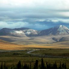
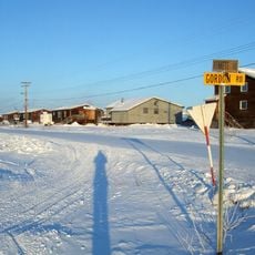
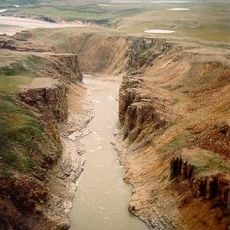
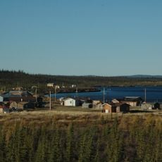
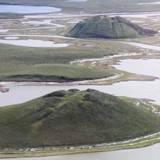
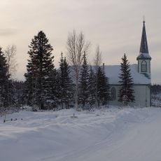
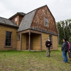
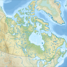
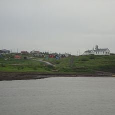
Region 1, Northwest Territories, A Statistics Canada census division
Location: Northwest Territories
GPS coordinates: 68.36170,-133.73100
Latest update: March 2, 2025 22:05
Arctic National Wildlife Refuge
399.5 km
Dempster Highway
150 km
Aklavik
55 km
Midnight Sun Mosque
816 m
Tuktut Nogait National Park
488.8 km
Paulatuk
402.8 km
Ivvavik National Park
276.9 km
Vuntut National Park
259.6 km
Tombstone Territorial Park
466.3 km
Aurora College
602 m
Mount Isto
415.9 km
Colville Lake
354.4 km
Pingo Canadian Landmark
118.5 km
Church of Our Lady of Good Hope
320.6 km
Fort Egbert
516.8 km
Herschel Island-Qikiqtaruk Territorial Park
251.7 km
Kendall Island Migratory Bird Sanctuary
121.1 km
The Ramparts
317.7 km
Biederman's Cabin
507.9 km
Sans Sault Rapids
365.3 km
Peters Glacier (Brooks Range)
462.2 km
Keno City Mining Museum
500.6 km
Kandik River
455.1 km
Fort McPherson National Historic Site of Canada
113.4 km
Nagwichoonjik
101.2 km
McKinnon Territorial Park
461.2 km
Tombstone Park Viewpoint
471.9 km
Norman Wells A
457.6 kmReviews
Visited this place? Tap the stars to rate it and share your experience / photos with the community! Try now! You can cancel it anytime.
Discover hidden gems everywhere you go!
From secret cafés to breathtaking viewpoints, skip the crowded tourist spots and find places that match your style. Our app makes it easy with voice search, smart filtering, route optimization, and insider tips from travelers worldwide. Download now for the complete mobile experience.
A unique approach to discovering new places❞
— Le Figaro
All the places worth exploring❞
— France Info
A tailor-made excursion in just a few clicks❞
— 20 Minutes