Mount Isto, Mountain summit in Brooks Range, Alaska, US
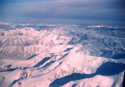
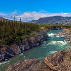
Mount Isto is a peak in the Brooks Range reaching about 8,976 feet (2,736 m) and stands as the highest summit of this mountain chain. The massif dominates the northern Alaska landscape and features steep slopes, small glaciers, and exposed rock faces across its terrain.
The peak received its name in 1966 honoring Reynold E. Isto, a civil engineer who advanced Alaska's mapping efforts through helicopter survey work. This naming reflected broader initiatives to document key geographical landmarks across Arctic regions.
Scientists and mountaineers regularly study this peak to understand Arctic climate patterns and geological formations within the Arctic National Wildlife Refuge boundaries.
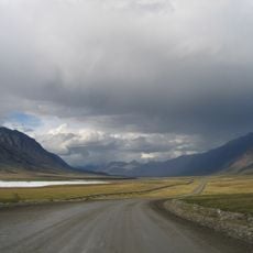
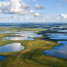
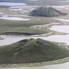
Access requires helicopter transport to remote tundra valleys since no roads lead to the base. From there, mountaineers must navigate steep ridges and glaciated terrain to reach the summit.
Advanced surveying technology confirmed in 2014 that this peak holds the rank of highest in the chain, surpassing earlier measurements of Mount Chamberlin. This reassessment showed how precise technology can correct previous geographical assumptions.
Location: Alaska
GPS coordinates: 69.20250,-143.80194
Latest update: December 10, 2025 15:49
Arctic National Wildlife Refuge
51.8 km
Dalton Highway
209.9 km
Dempster Highway
404.4 km
Aklavik
371.3 km
Midnight Sun Mosque
415.4 km
Ivvavik National Park
171.5 km
Vuntut National Park
181.3 km
Aurora College
416.5 km
Pingo Canadian Landmark
421.9 km
E. L. Patton Yukon River Bridge
447.2 km
Gates of the Arctic Wilderness
394.6 km
Yukon Flats National Wildlife Refuge
332.5 km
White Mountains National Recreation Area
456.9 km
John River
391.2 km
North Fork Koyukuk River
348.2 km
Slaven's Cabin
429.8 km
Herschel Island-Qikiqtaruk Territorial Park
190.9 km
Kendall Island Migratory Bird Sanctuary
343.4 km
Gallagher Flint Station Archeological Site
193.7 km
Coal Creek Historic Mining District
434.3 km
Itkillik River
265.8 km
Biederman's Cabin
429.4 km
Peters Glacier (Brooks Range)
46.4 km
Kandik River
414 km
George McGregor Cabin
429.7 km
Dall River
410.9 km
Fort McPherson National Historic Site of Canada
415.4 km
Nagwichoonjik
456.2 kmVisited this place? Tap the stars to rate it and share your experience / photos with the community! Try now! You can cancel it anytime.
Discover hidden gems everywhere you go!
From secret cafés to breathtaking viewpoints, skip the crowded tourist spots and find places that match your style. Our app makes it easy with voice search, smart filtering, route optimization, and insider tips from travelers worldwide. Download now for the complete mobile experience.
A unique approach to discovering new places❞
— Le Figaro
All the places worth exploring❞
— France Info
A tailor-made excursion in just a few clicks❞
— 20 Minutes