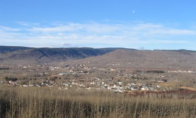
Chetwynd, District municipality in northeastern British Columbia, Canada.
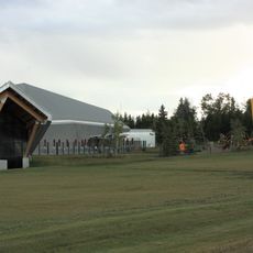
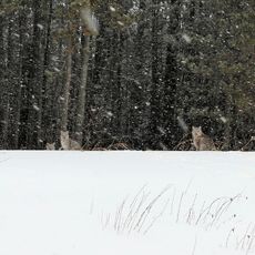
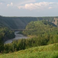
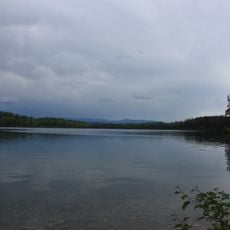
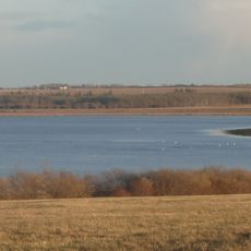
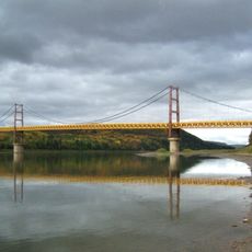
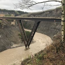
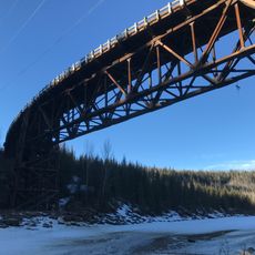
Chetwynd is a district municipality in northeastern British Columbia situated on elevated terrain in the eastern foothills of the Rocky Mountains. The town spreads across rolling ground formed by ancient river channels and is crossed by Highways 29 and 97, which connect to major routes serving the broader region.
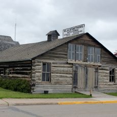
A trading post was established here in 1918 under the name Little Prairie, serving early settlers and passing merchants. The settlement adopted the name Chetwynd in 1962 as a tribute to provincial politician Ralph Chetwynd, marking a shift in local identity.
Wooden sculptures carved with chainsaws stand throughout the town, showing how local artists have made wood carving a central part of community identity and public spaces.
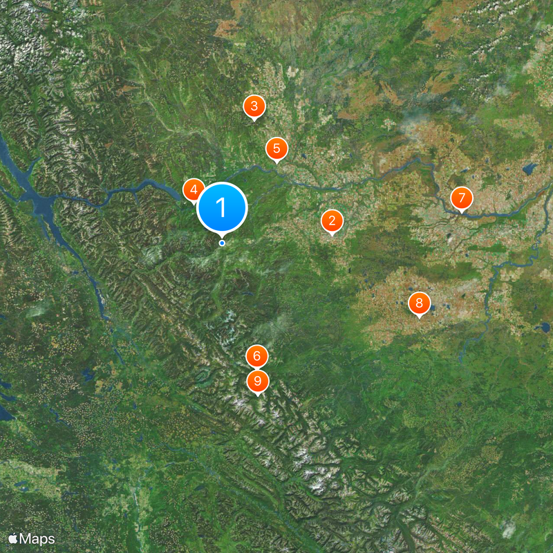
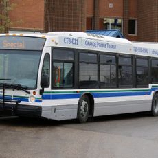
The town sits where Highways 29 and 97 meet, making it easy to reach Prince George and Dawson Creek by road or rail. Weather and road conditions can change quickly in this mountain region, so checking conditions before traveling is wise.
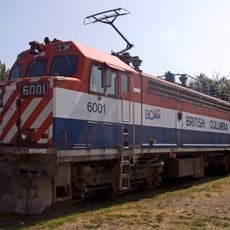
The local economy relies on three major sectors: forestry, fossil fuel operations, and transportation, which together shape the working rhythm and character of the place. This industrial mix gives the town a practical, action-oriented feel that visitors notice in daily activity and infrastructure.
Location: Peace River Regional District
Inception: 1918
Elevation above the sea: 615 m
Website: https://gochetwynd.com
GPS coordinates: 55.69720,-121.63300
Latest update: December 20, 2025 12:58
Alaska Highway
87.9 km
Montney Formation
100.6 km
Peace Canyon Dam
38.9 km
Charlie Lake Cave
77.1 km
Kinuseo Falls
105.4 km
Dunvegan Provincial Park
191.7 km
Philip J. Currie Dinosaur Museum
168.3 kmMonkman Provincial Park
125.4 km
Kakwa Provincial Park and Protected Area
195.5 km
Grande Prairie Transit
188.8 km
Saskatoon Island Provincial Park
169.9 km
Prince George Railway and Forestry Museum
209.8 km
Chinchaga Wildland Provincial Park
204.9 km
Dunvegan Formation
189.4 kmSugarbowl-Grizzly Den Provincial Park and Protected Area
209 kmCrooked River Provincial Park
151.6 km
Kiskatinaw Provincial Park
72.9 km
Heather-Dina Lakes Provincial Park
106.6 km
Kaskapau Formation
189.2 km
Grande Prairie High School
188.7 km
Fort St. John - North Peace Museum
77.7 km
Saskatoon Lake Migratory Bird Sanctuary
169.1 km
Sexsmith Blacksmith Shop
183.7 km
Reverend Forbes Homestead
189.1 km
Factor’s House
191.1 km
Dunvegan Bridge
191.1 km
Kiskatinaw Bridge
70.1 km
Kiskatinaw River Bridge
72.8 kmVisited this place? Tap the stars to rate it and share your experience / photos with the community! Try now! You can cancel it anytime.
Discover hidden gems everywhere you go!
From secret cafés to breathtaking viewpoints, skip the crowded tourist spots and find places that match your style. Our app makes it easy with voice search, smart filtering, route optimization, and insider tips from travelers worldwide. Download now for the complete mobile experience.
A unique approach to discovering new places❞
— Le Figaro
All the places worth exploring❞
— France Info
A tailor-made excursion in just a few clicks❞
— 20 Minutes