Nikanassin Formation, Sandstone formation in Alberta, Canada
The Nikanassin Formation is a sandstone formation in Alberta that also extends into northeastern British Columbia. It consists of several layers of marine sandstone mixed with dark grey shales throughout the region.
D.B. Dowling proposed the name Nikanassin in 1909, deriving it from a Cree word meaning "outer range," and marked it on his map. B.R. MacKay later described outcrops near Brûlé but designated no type locality. The formation is Late Jurassic (Portlandian) to Early Cretaceous (Barremian) in age.
The name comes from the Cree language and refers to the geographical location of these rock layers. Local communities and geologists use this term when discussing the formation in scientific and everyday conversations.
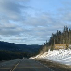
The formation's thickest section, about 400 m, lies near the hamlet of Brûlé, north of the Yellowhead Highway outside Jasper National Park, where outcrops were described. Access is by road; the beds are otherwise studied from borehole data.
Natural gas reservoirs exist within this formation thanks to a network of open fractures running through the layers. These fractures have become important for energy production in the area.
The community of curious travelers
AroundUs brings together thousands of curated places, local tips, and hidden gems, enriched daily by 93,669 contributors worldwide.