
Samson 137, Indian reserve in Alberta, Canada
Location: Alberta
Part of: Samson Cree Nation
Shares border with: Ermineskin 138, Samson 137A, Montana 139, County of Wetaskiwin No. 10, Ponoka County
GPS coordinates: 52.78870,-113.38900
Latest update: April 7, 2025 13:24
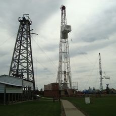
Leduc No. 1
64.3 km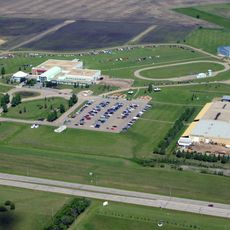
Reynolds Museum
19.4 km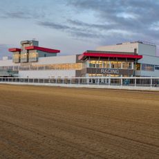
Century Mile Racetrack and Casino
59.8 km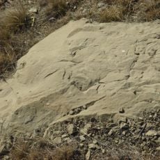
Paskapoo Formation
62.1 km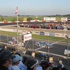
Edmonton International Raceway
22.6 km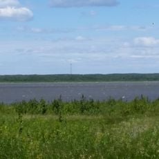
Miquelon Lake Provincial Park
61.7 km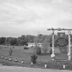
Aspen Beach Provincial Park
53.8 km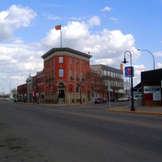
Flatiron Building
43 km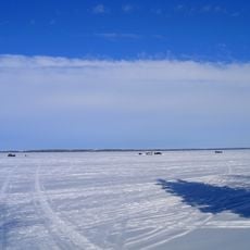
Pigeon Lake Provincial Park
58.6 km
Reynolds-Alberta Museum
19.6 km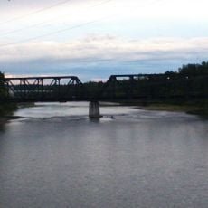
Red Deer Canadian Pacific Railway Bridge
64 km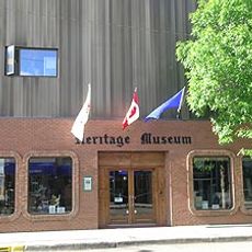
Wetaskiwin and District Heritage Museum
20.1 km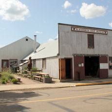
Lacombe Blacksmith Shop Museum
42.9 km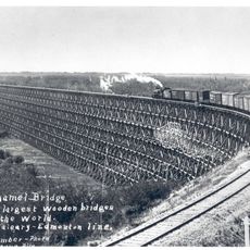
Duhamel Trestle
33.7 km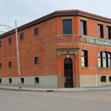
Camrose Feed Mill
46.2 km
Cargill Theatre
45.4 km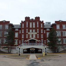
Rosehaven Normal School
45.1 km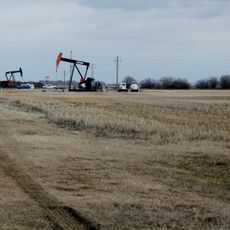
Leduc-Woodbend Oilfield
61 km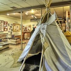
Wetaskiwin Heritage Museum & Star Store
20.2 km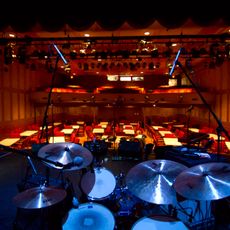
The Bailey Theatre
46 km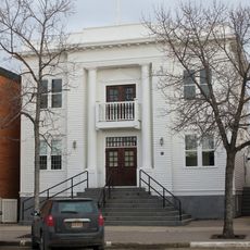
Camrose Old Courthouse
45.8 km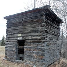
Fort Ethier
26.8 km
Wetaskiwin Court House
20.1 km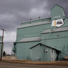
Leduc Alberta Wheat Pool Grain Elevator site complex
54.2 km
J.J. Gaetz House
63.1 km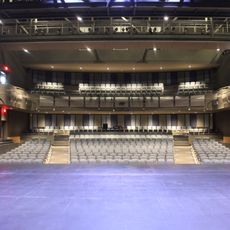
Jeanne & Peter Lougheed Performing Arts Centre
45.4 km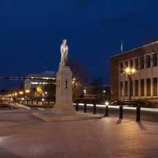
Red Deer Cenotaph
64.6 km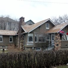
Dr. Woods House
53.9 kmReviews
Visited this place? Tap the stars to rate it and share your experience / photos with the community! Try now! You can cancel it anytime.
Discover hidden gems everywhere you go!
From secret cafés to breathtaking viewpoints, skip the crowded tourist spots and find places that match your style. Our app makes it easy with voice search, smart filtering, route optimization, and insider tips from travelers worldwide. Download now for the complete mobile experience.

A unique approach to discovering new places❞
— Le Figaro
All the places worth exploring❞
— France Info
A tailor-made excursion in just a few clicks❞
— 20 Minutes