Enable Location

We need your location to show you interesting places around you

Discover nearby places

Find interesting locations and hidden gems around you

Precise directions

Get accurate directions and distances to places

Your location is never shared with other users. It's only used when you tap the location button.

Hamilton County

Log in to your account

Start exploring — it's free

Trusted by 61,504 travelers worldwide

Continue with Google
Continue with Apple
or

We will send you a code to connect

By continuing, you accept our Terms and Conditions and our Privacy Policy

Check your inbox

We've sent a pincode in your inbox. Please enter the code below.

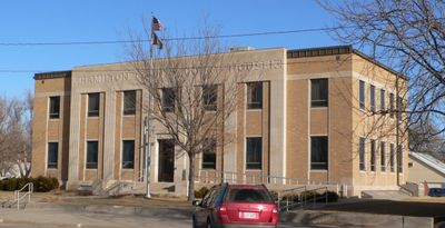
Hamilton County, County in southwest Kansas, United States.

Description

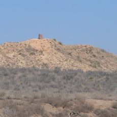
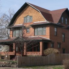
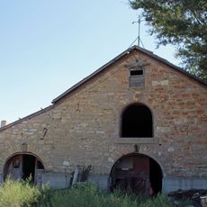
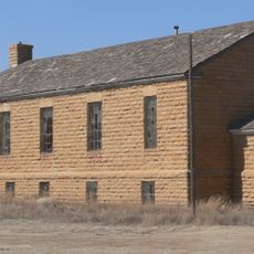
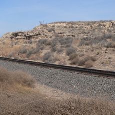
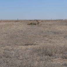
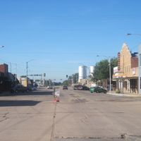
Hamilton County is a county in southwest Kansas spanning approximately 1,000 square miles where agriculture shapes the entire landscape. The region contains small towns and rural settlements dispersed across rolling plains dominated by grain production and livestock ranching.

History

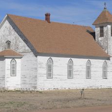
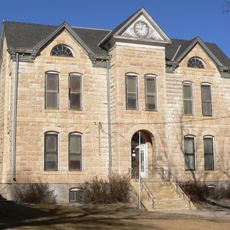
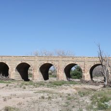
The county was established in 1873 and named after Alexander Hamilton, the first Secretary of the Treasury. The area developed along the Santa Fe Trail, which brought early settlers and trading posts to the region.

Culture

The rural settlements here are deeply rooted in farming traditions that families have maintained for generations. You can see how this connection to the land shapes the way communities are organized and how local life unfolds.

Practical

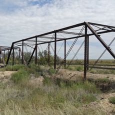
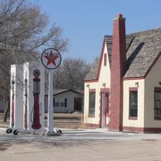
The area is well connected by U.S. Highways 50 and 400, which provide routes toward Colorado and central Kansas. Most services and amenities are located in small towns, so plan accordingly when traveling through rural sections.

Did you know?

Despite changes to Kansas state alcohol laws, this county maintains a dry county status that bans the sale of individual drinks containing alcohol. This preservation of earlier regulations reflects how local communities have chosen to retain their traditional policies.

Location
Inception
March 20, 1873
Capital city
Syracuse
Shares border with
Greeley County, Stanton County, Wichita County, Kearny County, Grant County, Prowers County
GPS coordinates
38.01670,-101.66700
Latest update
December 10, 2025 15:55

AroundUs brings together thousands of curated places, local tips, and hidden gems, enriched daily by 60,000 contributors worldwide. Discover all places nearby (Kansas).

Around this place
Lee Richardson Zoo
United States of America

Lee Richardson Zoo

70 km
Windsor Hotel
United States of America

Windsor Hotel

69.8 km
Northrup Theater
United States of America

Northrup Theater

8.3 km
Stonington First Methodist-Episcopal Church
United States of America

Stonington First Methodist-Episcopal Church

92.6 km
Prowers Bridge
United States of America

Prowers Bridge

96.9 km
Prowers County Courthouse
United States of America

Prowers County Courthouse

83.8 km
Sen. William H. Thompson House
United States of America

Sen. William H. Thompson House

70.2 km
Indian Mound
United States of America

Indian Mound

31.8 km
Deerfield Texaco Service Station
United States of America

Deerfield Texaco Service Station

47.1 km
Greeley County Courthouse
United States of America

Greeley County Courthouse

51.1 km
Buffalo Hotel
United States of America

Buffalo Hotel

69.7 km
900 Block North Seventh Street Historic District
United States of America

900 Block North Seventh Street Historic District

70.1 km
Morton County WPA Bridge
United States of America

Morton County WPA Bridge

80.4 km
Cedar Cliff
United States of America

Cedar Cliff

69.6 km
Hope House
United States of America

Hope House

71 km
Holly SS Ranch Barn
United States of America

Holly SS Ranch Barn

40.1 km
Douglas Crossing Bridge
United States of America

Douglas Crossing Bridge

57.3 km
Granada Bridge
United States of America

Granada Bridge

57 km
Menno Community Hall
United States of America

Menno Community Hall

26.3 km
Finney County Point of Rocks
United States of America

Finney County Point of Rocks

83.6 km
William B. and Julia Washington House
United States of America

William B. and Julia Washington House

58.4 km
Grant County Courthouse District
United States of America

Grant County Courthouse District

55.8 km
Little Finnup House
United States of America

Little Finnup House

69.5 km
Santa Fe Trail-Kearny County Segment 1
United States of America

Santa Fe Trail-Kearny County Segment 1

42.7 km
Bungalow Historic District
United States of America

Bungalow Historic District

70.4 km
Davies Hotel
United States of America

Davies Hotel

83.8 km
Lamar Theatre
United States of America

Lamar Theatre

83.8 km
Sabine Hall
United States of America

Sabine Hall

69.6 km
Show the full map
Administrative divisions
« Hamilton County - County in southwest Kansas, United States » is provided by Around Us (aroundus.com). Images and texts are derived from Wikimedia project under a Creative Commons license. You are allowed to copy, distribute, and modify copies of this page, under the conditions set by the license, as long as this note is clearly visible.

Discover hidden gems everywhere you go!

From secret cafés to breathtaking viewpoints, skip the crowded tourist spots and find places that match your style. Our app makes it easy with voice search, smart filtering, route optimization, and insider tips from travelers worldwide. Download now for the complete mobile experience.

Around Us App Screenshot

A unique approach to discovering new places

Le Figaro

All the places worth exploring

France Info

A tailor-made excursion in just a few clicks

20 Minutes

Around Us
Travel Guide & Maps
Download

Send to your phone

QR Code
1

Open the camera app on your mobile.

2

Point at the QR code with your camera. A notification will appear.

3

Tap the notification to open the link.