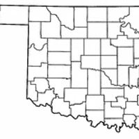
Coal County, County in southeastern Oklahoma, United States
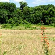
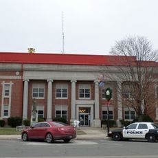
Coal County is an administrative division in the southeastern part of Oklahoma, where the land shifts from wooded hills in the east to open grassland in the west. Coalgate serves as the county seat and is the main population center in an otherwise sparsely settled rural area.
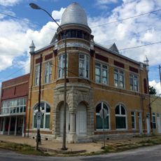
Coal County was formed in 1907 from lands that had belonged to the Choctaw and Chickasaw nations, at the time Oklahoma became a state. The coal mining that gave the county its name came to an end in the early 1920s, leaving the local economy to reorganize around agriculture.
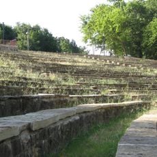
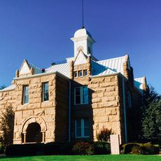
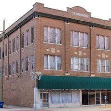
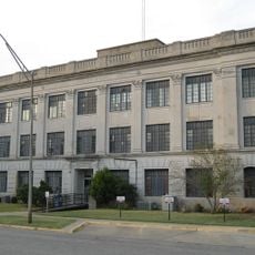
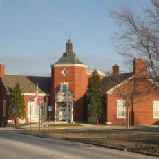
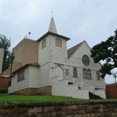
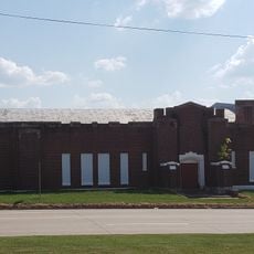
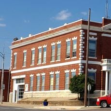
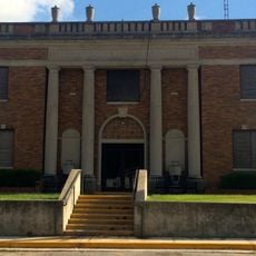
The county's name is a direct reference to the coal mining industry that once shaped the daily lives of its residents. Today, visitors can still see the traces of that era in the older buildings found in small towns across the area, where farming has since taken over as the main way of life.
U.S. Highway 75 is the main road running through the county, with several state highways connecting smaller communities. Anyone visiting should plan ahead, as services like gas stations and shops can be far apart in this rural area.
Between 1921 and 1923, boll weevil infestations wiped out the cotton crops and caused all five banks in the county to fail. It is rare for a single pest to bring down an entire county's banking system, making this one of the more striking episodes in Oklahoma's rural history.
The community of curious travelers
AroundUs brings together thousands of curated places, local tips, and hidden gems, enriched daily by 60,000 contributors worldwide.