Atoka County

Log in to your account

AroundUs is a community-driven map of interesting places, built by curious explorers like you. It grows with every review, story, and photo you share.
Connect to save your favorite spots, contribute locations, and create personalized routes.
By continuing, you accept our Terms and Conditions and our Privacy Policy
Add to collection
Map
Suggest a change
Share

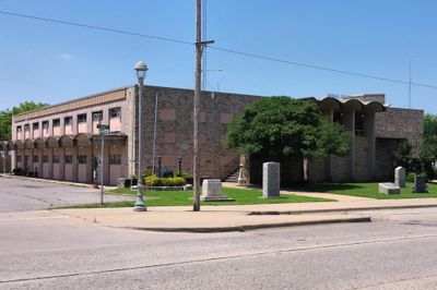
Atoka County, Administrative division in southeastern Oklahoma, United States

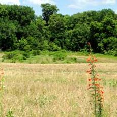
Atoka County is an administrative division in southeastern Oklahoma with mountains in the east and several creeks flowing toward Red River. The land features varied terrain ranging from forested hills to open river valleys.

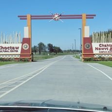
The territory became part of the Choctaw Nation after they relocated there in the 1830s. Boundaries were drawn according to natural landmarks rather than the standard grid system used elsewhere in America.

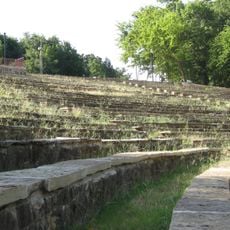
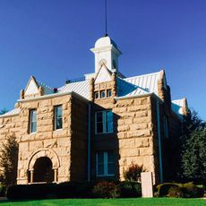
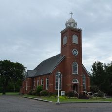
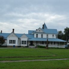
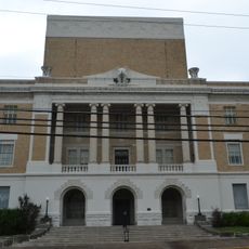
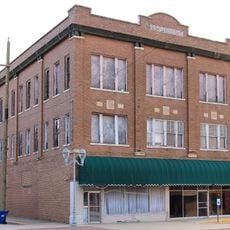
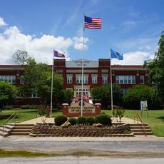
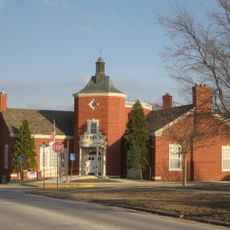
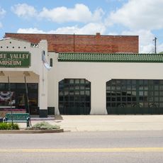
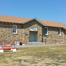
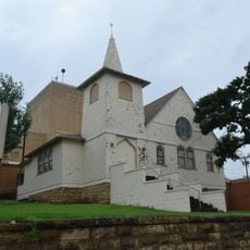
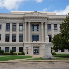
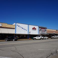
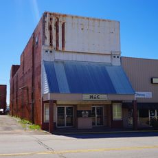
The area preserves places that tell the story of both Choctaw Nation history and early settlement periods. Visitors walking through the county can see how these different cultural layers have left their mark on the landscape today.

Spring and autumn offer the best conditions for exploring, with mild weather and easy road conditions throughout the county. The town of Atoka serves as the main hub where visitors can find basic services and supplies.

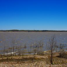
A lake near the county lent its name to a geological time period used worldwide by scientists. This surprising connection between a local water feature and global scientific naming shows how small places can influence major discoveries.

Location: Oklahoma

Inception: July 16, 1907

Capital city: Atoka

Shares border with: Pittsburg County, Pushmataha County, Choctaw County, Bryan County, Johnston County, Coal County

Website: https://atokaok.org

GPS coordinates: 34.38000,-96.05000

Latest update: December 7, 2025 20:48

Photos
Around this place
Show the full map
Choctaw Casino Resort
United States of America

Choctaw Casino Resort

58.3 km
Fort Washita
United States of America

Fort Washita

55.2 km
Hugo Lake
United States of America

Hugo Lake

67.9 km
International Temple, Supreme Assembly, Order of the Rainbow for Girls
United States of America

International Temple, Supreme Assembly, Order of the Rainbow for Girls

66.8 km
AT6 Monument
United States of America

AT6 Monument

40.2 km
Wintersmith Park Historic District
United States of America

Wintersmith Park Historic District

69.6 km
Tishomingo National Wildlife Refuge
United States of America

Tishomingo National Wildlife Refuge

59.7 km
Chickasaw Nation Capitols
United States of America

Chickasaw Nation Capitols

60 km
Aldridge Hotel
United States of America

Aldridge Hotel

66.7 km
St. Joseph's Catholic Church
United States of America

St. Joseph's Catholic Church

68.6 km
Sugg Clinic
United States of America

Sugg Clinic

72.3 km
McAlester House
United States of America

McAlester House

69.3 km
McAlester Scottish Rite Temple
United States of America

McAlester Scottish Rite Temple

67.1 km
Masonic Temple
United States of America

Masonic Temple

6.9 km
Pontotoc County Courthouse
United States of America

Pontotoc County Courthouse

72.4 km
Oklahoma Presbyterian College
United States of America

Oklahoma Presbyterian College

52.8 km
Ada Arts and Heritage Center
United States of America

Ada Arts and Heritage Center

72.1 km
First Methodist Church Building
United States of America

First Methodist Church Building

7.2 km
Three Valley Museum
United States of America

Three Valley Museum

52.9 km
Snow School
United States of America

Snow School

58.6 km
First Presbyterian Church
United States of America

First Presbyterian Church

66.5 km
Clayton High School Auditorium
United States of America

Clayton High School Auditorium

67.9 km
Robert E. Lee School
United States of America

Robert E. Lee School

53.4 km
Bryan County Courthouse
United States of America

Bryan County Courthouse

52.8 km
Hugo Historic District
United States of America

Hugo Historic District

64.3 km
Choctaw Cultural Center
United States of America

Choctaw Cultural Center

57.5 km
Erie Theatre
United States of America

Erie Theatre

64.3 km
Okla Theatre
United States of America

Okla Theatre

66.6 km
Show the full map
Reviews

Visited this place? Tap the stars to rate it and share your experience / photos with the community! Try now! You can cancel it anytime.

Administrative divisions
« Atoka County - Administrative division in southeastern Oklahoma, United States » is provided by Around Us (aroundus.com). Images and texts are derived from Wikimedia project under a Creative Commons license. You are allowed to copy, distribute, and modify copies of this page, under the conditions set by the license, as long as this note is clearly visible.

Discover hidden gems everywhere you go!

From secret cafés to breathtaking viewpoints, skip the crowded tourist spots and find places that match your style. Our app makes it easy with voice search, smart filtering, route optimization, and insider tips from travelers worldwide. Download now for the complete mobile experience.

Around Us App Screenshot

A unique approach to discovering new places

Le Figaro

All the places worth exploring

France Info

A tailor-made excursion in just a few clicks

20 Minutes