Sumner County

Log in to your account

AroundUs is a community-driven map of interesting places, built by curious explorers like you. It grows with every review, story, and photo you share.
Connect to save your favorite spots, contribute locations, and create personalized routes.
Continue with Google
Continue with Apple
Continue with X
Continue with Facebook
Continue with email
By continuing, you accept our Terms and Conditions and our Privacy Policy
Create an account
Add to collection
Map
Suggest a change
Share

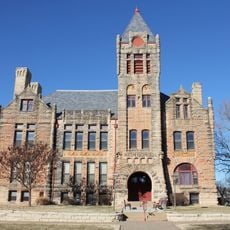
Sumner County, County seat in south-central Kansas, United States

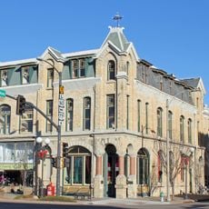
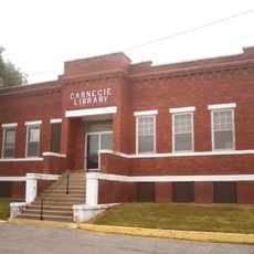
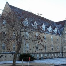
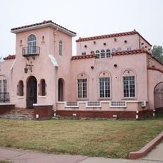
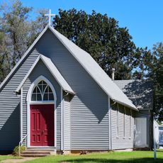
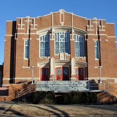
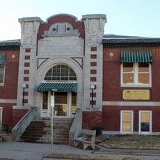
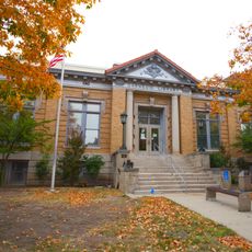
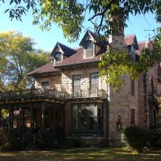
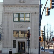
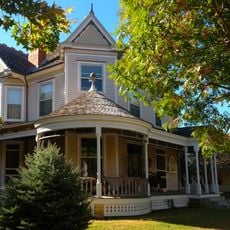
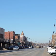
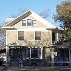
Sumner County is a county in south-central Kansas composed of rolling plains, farmland, and water resources that define its landscape. The region includes eleven incorporated cities with Wellington serving as the county seat and shares a border with Oklahoma to the south.

The county was established in 1870, created from portions of Marion and Butler counties to support the state's growing population. Its naming honored U.S. Senator Charles Sumner, a prominent advocate for abolishing slavery.

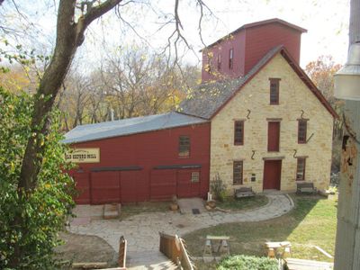
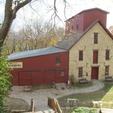
Agricultural traditions shape daily life across the county, where farmers markets and local festivals display regional crops and homemade goods. Community gatherings and craft fairs bring neighbors together to share their skills and products with visitors.

The region connects easily via Highways 81 and 160, which facilitate travel across south-central Kansas. Visitors should expect that rural areas require driving between locations, so planning activities ahead helps make the most of your time.

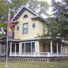
Argonia, one of the county's eleven cities, elected the first female mayor in the United States in 1887, showing early pioneering spirit. This groundbreaking election set a precedent for women in leadership roles decades before broader acceptance became common.

Location: Kansas

Inception: 1873

Capital city: Wellington

Shares border with: Sedgwick County, Grant County, Butler County, Cowley County, Kay County, Kingman County, Harper County

Website: http://co.Sumner.KS.us

GPS coordinates: 37.23330,-97.48330

Latest update: December 14, 2025 20:24

Photos
Around this place
Kansas Aviation Museum
United States of America

Kansas Aviation Museum

48.1 km
Bartlett Arboretum
United States of America

Bartlett Arboretum

24.9 km
Salter House
United States of America

Salter House

25.4 km
Vickers Petroleum Service Station
United States of America

Vickers Petroleum Service Station

38.7 km
Old Arkansas City High School
United States of America

Old Arkansas City High School

43.6 km
Old Oxford Mill
United States of America

Old Oxford Mill

29.6 km
Cowley County National Bank Building
United States of America

Cowley County National Bank Building

43.2 km
Polecat Creek Bridge
United States of America

Polecat Creek Bridge

43.7 km
Caldwell Carnegie Library
United States of America

Caldwell Carnegie Library

25 km
St. John's Lutheran College Girls Dormitory
United States of America

St. John's Lutheran College Girls Dormitory

44.5 km
Edwin Smith House
United States of America

Edwin Smith House

8.2 km
Old Runnymede Church
United States of America

Old Runnymede Church

48.9 km
Grace Methodist Episcopal Church
United States of America

Grace Methodist Episcopal Church

44.9 km
Winfield Public Carnegie Library
United States of America

Winfield Public Carnegie Library

43.2 km
Wellington Carnegie Library
United States of America

Wellington Carnegie Library

8.4 km
Pilgrim Congregational Church
United States of America

Pilgrim Congregational Church

43.5 km
Bucher Bridge
United States of America

Bucher Bridge

46.9 km
Caldwell United States Post Office
United States of America

Caldwell United States Post Office

24.9 km
H.F. Smith House
United States of America

H.F. Smith House

7.7 km
W. P. Hackney House
United States of America

W. P. Hackney House

43.6 km
Administration Building
United States of America

Administration Building

48.1 km
Pettit Cleaners Building
United States of America

Pettit Cleaners Building

43.2 km
Winfield National Bank Building
United States of America

Winfield National Bank Building

43.1 km
W. H. Coffin House
United States of America

W. H. Coffin House

43.6 km
Arkansas City Commercial Historic District
United States of America

Arkansas City Commercial Historic District

43.8 km
Wilmer House
United States of America

Wilmer House

44.5 km
Joyland Amusement Park
United States of America

Joyland Amusement Park

48.1 km
B-29 Doc Hangar, Education and Visitors Center
United States of America

B-29 Doc Hangar, Education and Visitors Center

47.9 km
Show the full map
Reviews

Visited this place? Tap the stars to rate it and share your experience / photos with the community! Try now! You can cancel it anytime.

Administrative divisions
« Sumner County - County seat in south-central Kansas, United States » is provided by Around Us (aroundus.com). Images and texts are derived from Wikimedia project under a Creative Commons license. You are allowed to copy, distribute, and modify copies of this page, under the conditions set by the license, as long as this note is clearly visible.

Discover hidden gems everywhere you go!

From secret cafés to breathtaking viewpoints, skip the crowded tourist spots and find places that match your style. Our app makes it easy with voice search, smart filtering, route optimization, and insider tips from travelers worldwide. Download now for the complete mobile experience.

Around Us App Screenshot

A unique approach to discovering new places

Le Figaro

All the places worth exploring

France Info

A tailor-made excursion in just a few clicks

20 Minutes