
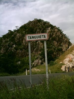
Tanguiéta, commune of Benin
Location: Atakora Department
Elevation above the sea: 245 m
GPS coordinates: 10.61667,1.26667
Latest update: April 10, 2025 23:08
Pendjari National Park
55.4 km
Arli National Park
109.9 km
Koutammakou
58.2 km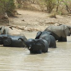
W-Arly-Pendjari Complex
151.1 km
Gallecs
100.5 km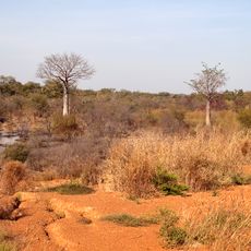
Kéran National Park
89.2 km
Kota Falls
49.3 km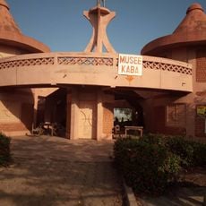
Stèle de Kaba
42.2 km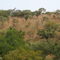
Kourtiagou Reserve
125 km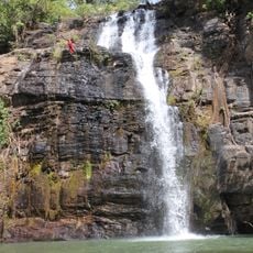
Tanougou Falls
28.6 km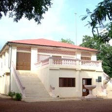
Musée régional de Natitingou
36.2 km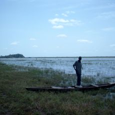
Lake Kompienga
90.3 km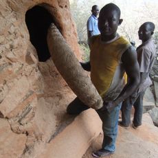
Nano
97.1 km
Stade Municipal de Djougou
111.1 km
Pessaré
91.4 km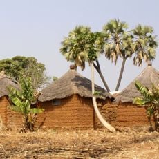
Lassa
124.3 km
Marché de Kassoua
105.6 km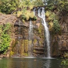
Chutes de Tanougou
28.3 km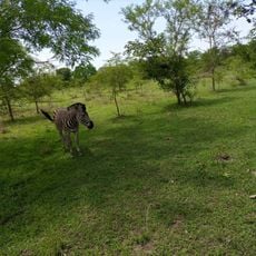
Parc Sarakawa
115.4 km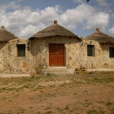
Palais Somba
37.6 km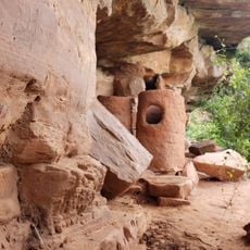
Granaries at the Caves of Nok
123.3 km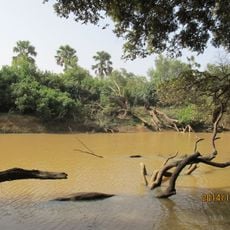
Arli National Park
110.9 km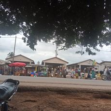
Pabegou market fkrha
97.2 km
Marché de Partago
139.6 km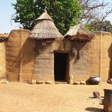
Bénin Tata Somba
36.2 km
Donga Treasure
112.1 km
Trésorerie Départementale De La Donga
111 km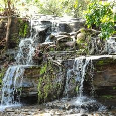
Chutes de Kota
49.1 kmReviews
Visited this place? Tap the stars to rate it and share your experience / photos with the community! Try now! You can cancel it anytime.
Discover hidden gems everywhere you go!
From secret cafés to breathtaking viewpoints, skip the crowded tourist spots and find places that match your style. Our app makes it easy with voice search, smart filtering, route optimization, and insider tips from travelers worldwide. Download now for the complete mobile experience.

A unique approach to discovering new places❞
— Le Figaro
All the places worth exploring❞
— France Info
A tailor-made excursion in just a few clicks❞
— 20 Minutes