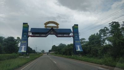
Castanhal, Commercial municipality in Pará, Brazil
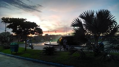
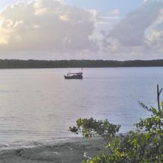
Castanhal is a commercial city in Pará, located in the Amazon region of Brazil. It functions as a key hub where agricultural goods and raw materials from the interior are collected, processed, and distributed to other parts of the country.
The city grew around a railway station on the Bragança-Belém line, where northeastern Brazilian workers established a marketplace in the early 1900s. From this trading post, it developed into a major distribution hub for agricultural goods.
The Diocese of Castanhal, established in 2004 under Pope John Paul II, operates as a subordinate religious center to the archdiocese of Belém.
The city is an established education hub with several universities offering programs in veterinary medicine, computer science, mechanical engineering, and agriculture. These institutions make it a gathering place for students and professionals from across the region.
The city houses factories that produce specialized equipment for food and mining industries, playing an important role in the local economy. This manufacturing makes it a technical hub for raw material processing in the Amazon region.
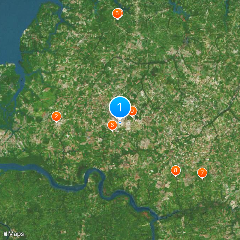
Location: Pará
Inception: 1932
Elevation above the sea: 141 m
Shares border with: Inhangapi, Santa Maria do Pará, Igarapé-Açu, Santa Isabel do Pará, Santo Antônio do Tauá, São Caetano de Odivelas, São Francisco do Pará, São Miguel do Guamá, Terra Alta, Vigia
Website: http://castanhal.pa.gov.br
GPS coordinates: -1.29694,-47.92194
Latest update: December 12, 2025 05:52
Colégio Antônio Lemos
27.6 km
Mãe Grande de Curuçá Extractive Reserve
45 km
Estádio Maximino Porpino Filho
1.3 km
São João da Ponta Extractive Reserve
44.9 km
Barramento 01
4.9 km
Quilombo Menino Jesus
43.2 km
Quilombo Canta Galo
33.6 km
Quilombo São Pedro-bacuri
5.9 km
Quilombo São Judas Tadeu
28.3 km
Quilombo Menino Jesus de Petimandeua
15.1 km
Quilombo Paraíso
15.7 km
Sem Informação
40.9 km
Quilombo Nossa Senhora de Fátima do Crauateua
31 km
Barragem Igarapé Jambu-Açu
19.2 km
Quilombo Macapazinho
26.4 km
Sem Informação
39 km
Quilombo Macapazinho
3.5 km
Sem Informação
37.8 km
Quilombo Nossa Senhora do Livramento
37.5 km
Quilombo Bandeira Branca
14.4 km
Quilombo Cumaru
14.3 km
Barramento 02
1.5 km
Quilombo Rio Capim
44.9 km
Quilombo Boa Vista do Itá
26.3 km
Quilombo Jacarequara
28.5 km
Quilombo Carananduba
43.7 km
Parque de exposição agropecuária
3.3 km
Lagua Bianca
36 kmVisited this place? Tap the stars to rate it and share your experience / photos with the community! Try now! You can cancel it anytime.
Discover hidden gems everywhere you go!
From secret cafés to breathtaking viewpoints, skip the crowded tourist spots and find places that match your style. Our app makes it easy with voice search, smart filtering, route optimization, and insider tips from travelers worldwide. Download now for the complete mobile experience.
A unique approach to discovering new places❞
— Le Figaro
All the places worth exploring❞
— France Info
A tailor-made excursion in just a few clicks❞
— 20 Minutes