Enable Location

We need your location to show you interesting places around you

Discover nearby places

Find interesting locations and hidden gems around you

Precise directions

Get accurate directions and distances to places

Your location is never shared with other users. It's only used when you tap the location button.

Sørvágsvatn

Log in to your account

Start exploring — it's free

Trusted by 62,372 travelers worldwide

Continue with Google
Continue with Apple
or

We will send you a code to connect

By continuing, you accept our Terms and Conditions and our Privacy Policy

Check your inbox

We've sent a pincode in your inbox. Please enter the code below.

Sørvágsvatn

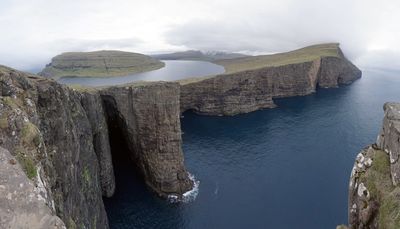
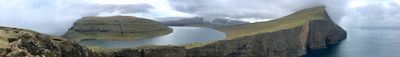
Sørvágsvatn, Freshwater lake on Vágar Island, Faroe Islands

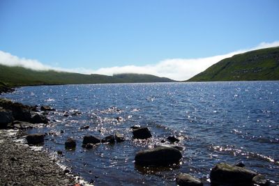
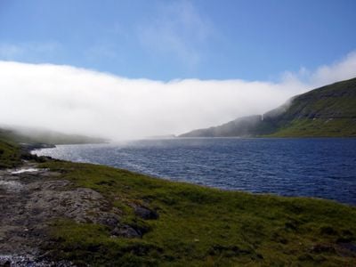
Sørvágsvatn is a freshwater lake on Vágar Island in the Faroe Islands and covers roughly 3.6 square kilometers. Its water flows directly into the North Atlantic Ocean through the Bøsdalafossur waterfall, making it a natural drainage point.

During World War II, British forces built a seaplane base at the lake, where the first RAF Coastal Command aircraft landed in 1941. This installation was part of the wider Allied military presence in the region.

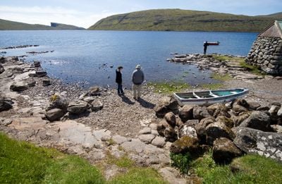
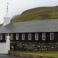
The lake carries different names depending on who lives nearby: residents of Sørvágur call it Sørvágsvatn, while those from Miðvágur and Sandavágur prefer Leitisvatn. This naming split shows how local communities relate to the same piece of nature in their own way.

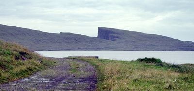
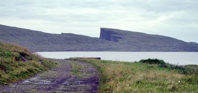
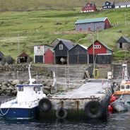
The lake is reached via an unpaved path from Miðvágur, requiring about an hour of walking with moderate elevation changes along the way. Proper footwear and weather-resistant clothing are advisable for this route.

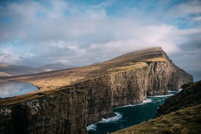
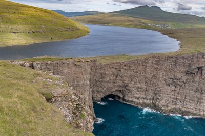
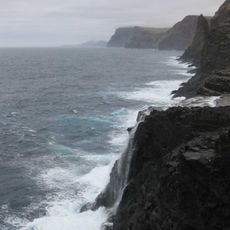
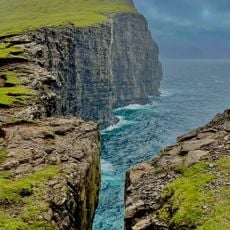
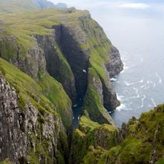
When viewed from Trælanípa Cliff, the lake appears to float above the Atlantic Ocean, though it actually sits just 32 meters above sea level. This visual trick happens because of the cliff's extreme height and its sharp drop to the water.

The community of curious travelers

AroundUs brings together thousands of curated places, local tips, and hidden gems, enriched daily by 60,000 contributors worldwide.

Start exploring
Elevation above the sea
32 m
Address
Sørvágsvatn, Faroe Islands
GPS coordinates
62.05000,-7.23333
Latest update
December 14, 2025 21:06
Wild scenery and coastal villages of the Faroe Islands: waterfalls, steep cliffs, traditional houses

In the Faroe Islands, nature shows all its strength. Waterfalls fall directly into the ocean, cliffs rise sharply toward the sky, and lakes hide high in the mountains. Everywhere, water and rock shape the land. Sorvagsvatn lake surprises with its place between sky and sea, while the rocks of...

« Sørvágsvatn - Freshwater lake on Vágar Island, Faroe Islands » is provided by Around Us (aroundus.com). Images and texts are derived from Wikimedia project under a Creative Commons license. You are allowed to copy, distribute, and modify copies of this page, under the conditions set by the license, as long as this note is clearly visible.

Discover hidden gems everywhere you go!

From secret cafés to breathtaking viewpoints, skip the crowded tourist spots and find places that match your style. Our app makes it easy with voice search, smart filtering, route optimization, and insider tips from travelers worldwide. Download now for the complete mobile experience.

Around Us App Screenshot

A unique approach to discovering new places

Le Figaro

All the places worth exploring

France Info

A tailor-made excursion in just a few clicks

20 Minutes

Around Us
Travel Guide & Maps
Download

Send to your phone

QR Code
1

Open the camera app on your mobile.

2

Point at the QR code with your camera. A notification will appear.

3

Tap the notification to open the link.