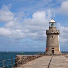
Bréhon Tower, Sea fort and lighthouse in Little Roussel Channel, Bailiwick of Guernsey
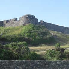
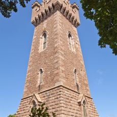
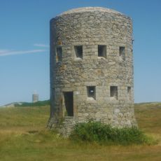
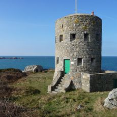
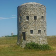
Bréhon Tower is an oval granite fort on Bréhon Rock, an islet in the Little Russell channel about 1.5 km northeast of St Peter Port, between Guernsey and Herm and Jethou. Its footprint measures 65 by 85 feet at the widest point, and the tower stands 34 feet high over three levels. A light operated by the Guernsey Harbour Authority shines from the top.
An obelisk was erected on Bréhon in 1744 as a sea mark, replaced in 1824 by a 40 ft tower topped by a globe. A review of Guernsey's defences in 1852 recommended building Bréhon Tower, and work ran from 1854 to 1856 under Thomas Charles de Putron, who used granite from Herm; the total cost was £8,098 18s 10d. In 1914 the War Office transferred the tower to the States of Guernsey.
The tower's light is run by the Guernsey Harbour Authority, and the islet hosts a breeding colony of common terns. The name comes from Bréhon Rock, the granite islet in the Little Russell channel about 1.5 km northeast of St Peter Port, on the direct route between the harbour and Herm.
Getting to the tower requires a boat, as it sits on an isolated islet in open water well away from shore. The structure is not open to visitors, but it can be seen clearly from the Guernsey coastline or from a boat passing nearby.
German forces cut a new embrasure in the north wall for a 10.5 cm coastal gun and put two 2 cm anti-aircraft guns on the roof. On 14 May 1943, during Operation Roadstead 2, the tower's flak hit Flying Officer Jaroslav Novák's Spitfire of 312 Squadron; he was killed. On 22 May 1944 the guns downed Flight Lieutenant Hugh Percy of 610 Squadron. The tower was also credited with a Focke-Wulf Fw 190 that crashed east of Herm.
The community of curious travelers
AroundUs brings together thousands of curated places, local tips, and hidden gems, enriched daily by 92,787 contributors worldwide.