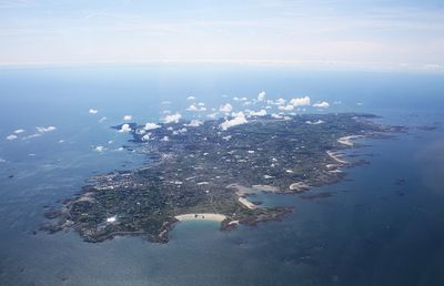
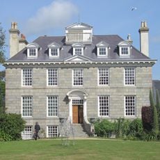
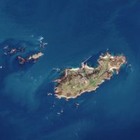
Guernsey, British Crown dependency in Channel Islands, United Kingdom
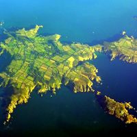
This archipelago lies between the French coast of Normandy and the southern shores of England, forming a self-governing territory composed of several islands under the sovereignty of the British Crown. Guernsey itself is the largest island, while smaller ones like Alderney, Sark, and Herm complete the group that together measures about 78 square kilometers (30 square miles).
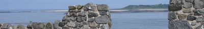
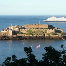
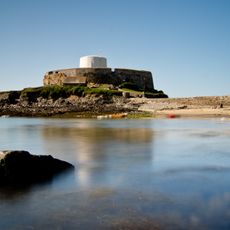
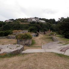
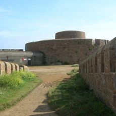
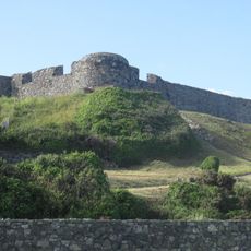
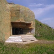
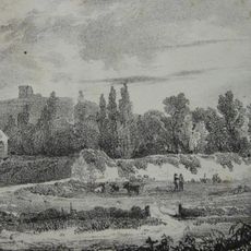
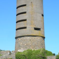
When the English Crown lost control over mainland Normandy in 1204, the islands chose to remain loyal and developed a separate status outside the ordinary framework of the United Kingdom. During World War Two, German forces occupied the territory and built fortifications that still mark parts of the coastline and countryside.
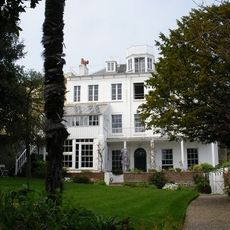
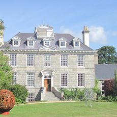
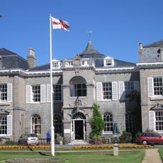
The States of Guernsey parliament governs the territory while maintaining traditional Norman-French influences in its legal system and local dialect, Guernesiais.
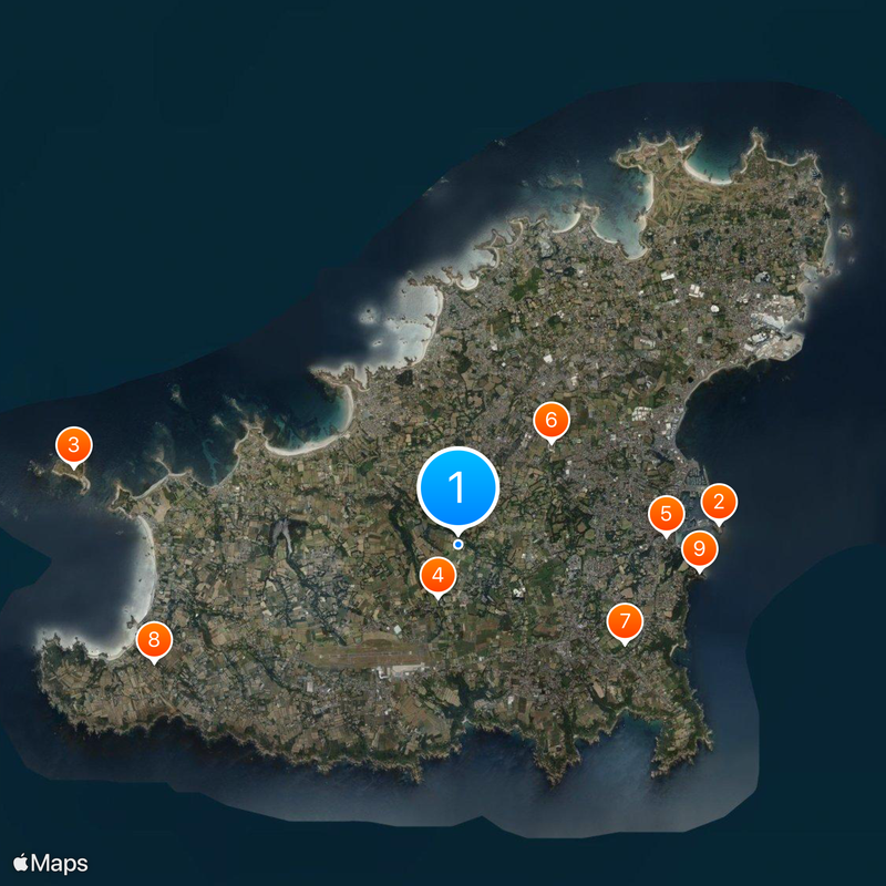
Ferries depart regularly from the harbor at Saint Peter Port to England and France, while smaller boats connect the neighboring islands within the group. Most coastal walking paths and cliff trails are well marked, but sturdy footwear is necessary during wet or windy weather.
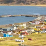
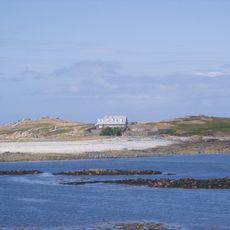
Cars are banned on Sark, where all movement happens on foot, by bicycle, or with horse-drawn carriages. Herm is leased to a single family and has no paved roads, keeping both islands unusually quiet compared to the rest of the group.
The community of curious travelers
AroundUs brings together thousands of curated places, local tips, and hidden gems, enriched daily by 60,000 contributors worldwide.