North Tapanuli, Administrative regency in North Sumatra, Indonesia
North Tapanuli is an administrative regency in North Sumatra with diverse landscapes ranging from lowlands to elevated mountain terrain. The region spreads across multiple districts, each containing numerous villages set within varied geographic zones.
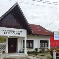
The region developed from traditional Batak lands and was later established as a separate administrative district. Tarutung became the administrative center to support local governance functions.
The Batak people shape daily life here through their traditions, crafts, and food that visitors encounter in markets and community gatherings. These practices connect residents to their roots and influence how the community functions together.
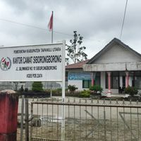
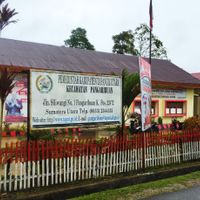
The region is divided into multiple administrative districts comprising numerous villages that provide a good basis for exploration. The varying elevations mean visitors should expect different climate zones and weather conditions depending on which areas they visit.
A natural soda spring in a local village produces effervescent spring water with a distinctive scent and offers swimming opportunities. This unusual natural feature is one of the most remarkable places in the region.
Location: North Sumatra
Capital city: Tarutung
Elevation above the sea: 1,274 m
Shares border with: Humbang Hasundutan, Central Tapanuli, South Tapanuli, North Labuhanbatu, Toba
Website: http://taputkab.go.id
GPS coordinates: 2.00280,99.07070
Latest update: December 19, 2025 23:23
Sipinsur Park Geosite and Pine Forest
42 km
T.B. Silalahi Museum Center
36.9 km
Dolok Sibualbuali
53.8 kmCultural Hall Batak "Arjuna"
43.1 kmKarang Gedang
55.7 kmSagu
44.5 kmScenic viewpoint
45.1 kmRice Terraces
55.6 kmTugu Hariandja monument
52.8 kmSiregar aek na las
45.1 kmAir Terjun Sihobuk
40.8 kmCave
34.2 kmMotocross training place
34.7 kmHot spring. So beautiful.
44.9 kmVolcanic Sulpher
16.2 kmHuta Ginjang
36.5 kmBatu Guru
51.2 kmScenic viewpoint
14 kmScenic viewpoint
9 kmScenic viewpoint
40.4 kmTugu Aritonang
40.1 kmBalige waterfall
32 kmSampuranga Waterfall
31 kmSAMPURAGAFÄLLE
31 kmWaterfall
53.4 kmAir Terjun Janji
47.1 kmAir Terjun Pandumaan
31.5 kmAir Terjun Sipoltak Holda
49.1 kmVisited this place? Tap the stars to rate it and share your experience / photos with the community! Try now! You can cancel it anytime.
Discover hidden gems everywhere you go!
From secret cafés to breathtaking viewpoints, skip the crowded tourist spots and find places that match your style. Our app makes it easy with voice search, smart filtering, route optimization, and insider tips from travelers worldwide. Download now for the complete mobile experience.
A unique approach to discovering new places❞
— Le Figaro
All the places worth exploring❞
— France Info
A tailor-made excursion in just a few clicks❞
— 20 Minutes