Kiribati, Island nation in central Pacific Ocean.
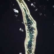
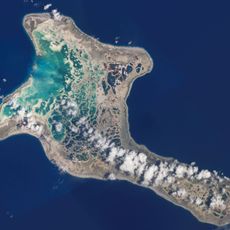
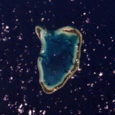
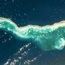
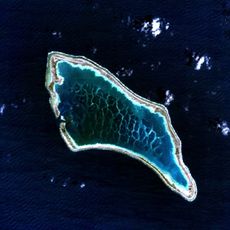
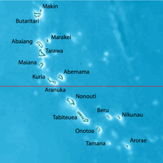
Kiribati extends across 33 coral atolls and one volcanic island in the central Pacific. The land area covers approximately 811 square kilometers, while the maritime territory encompasses over 3.5 million square kilometers, with South Tarawa forming the administrative center and most atolls rising an average of about two meters above sea level.
Austronesian seafarers settled the islands roughly 2000 years ago and developed specialized maritime societies. European contact began in the 16th century, followed by British colonial administration starting in the 1890s, before the territory gained independence in 1979 and joined the United Nations in 1999.
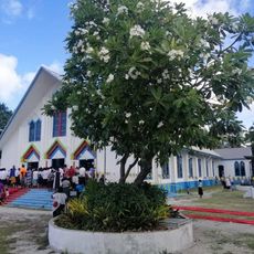
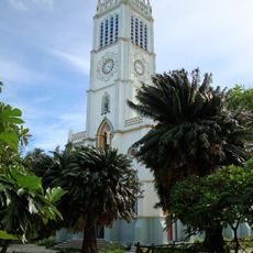
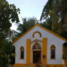
The population uses traditional navigation methods and collective land ownership structures to organize social life. Community meeting houses serve as places for decision-making and cultural transmission between generations, while dance and oral traditions document lineage and historical events.
Domestic air connections operate through Bonriki Airport on South Tarawa, with direct international flights from Fiji. Accommodations are mainly limited to South Tarawa and Christmas Island and require advance bookings, while drinking water should be treated or boiled and the dry season from April through October offers more comfortable visiting conditions.
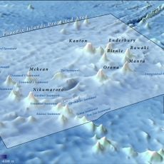
The territory crosses the International Date Line, making Kiritimati the first inhabited location worldwide to experience each new calendar day. The Phoenix Islands Protected Area forms one of the largest marine conservation zones globally and encompasses eight atolls with minimal human presence.
The community of curious travelers
AroundUs brings together thousands of curated places, local tips, and hidden gems, enriched daily by 60,000 contributors worldwide.