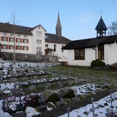
Ruggeller Riet, Nature reserve and wetland in Ruggell, Liechtenstein
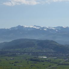
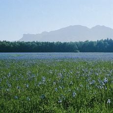
The Ruggeller Riet is a national nature reserve of 88 hectares of wet meadows and moorland on a thick peat bed at about 430 metres above sea level, near Liechtenstein's northern tripoint with Austria and Switzerland. Purple moor grass, brown bog-rush and great fen-sedge dominate, with crested wood fern, gladiolus and Siberian iris also present.
The wetland formed around 16,500 years ago after the Rhine Glacier melted and shaped the valley we see today. Archaeological evidence shows people have used this area since the 4th millennium BCE.
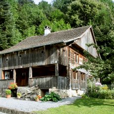
Locals from Ruggell are nicknamed "Lättaknätter", after the clayey soil called "Lätta" found in the Riet. Peat was once cut here and burned to heat houses, and of roughly 100 peat huts that once stood, 12 remained in 1982. Since the late Middle Ages farmers have used the meadows for pasture and hay mowing.
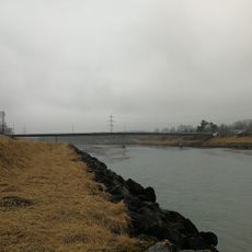
The reserve lies at about 430 m, the lowest point of Liechtenstein, by the Bangserfeld tripoint where the Liechtensteiner Binnenkanal meets the Rhine. The Ruggeller Riet sits on the north side of the Eschnerberg; paths and the cycle network of the flat Rhine valley, which earned Ruggell the name "Fahrraddorf", lead to it. Expect mild alpine weather with strong Föhn winds and summer temperatures above 30 °C.
Each year at the end of May, thousands of Siberian Iris flowers bloom at the same time, turning the wetland purple and creating a striking natural display. This seasonal event lasts only a few weeks and draws photographers and nature lovers to the site.
The community of curious travelers
AroundUs brings together thousands of curated places, local tips, and hidden gems, enriched daily by 92,947 contributors worldwide.