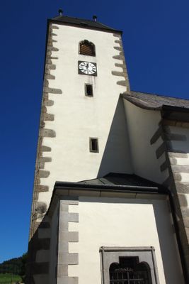
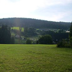
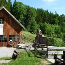
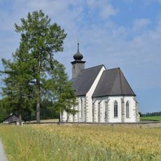
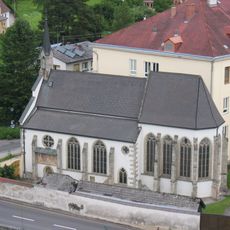
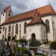
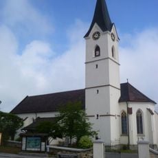
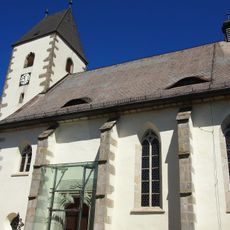
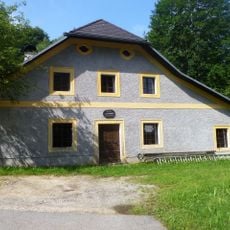
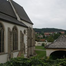
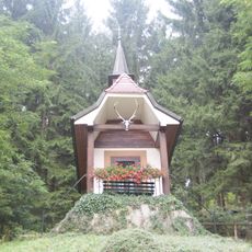
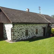
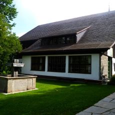
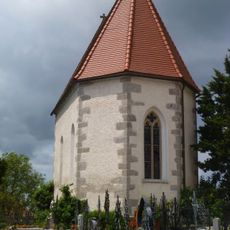
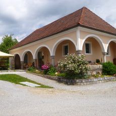
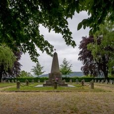
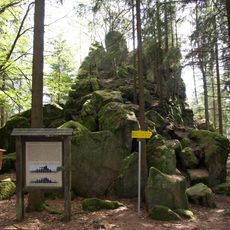
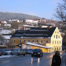
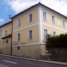
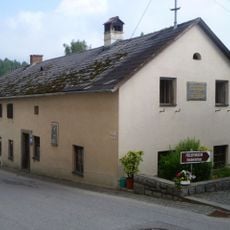
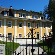
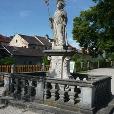
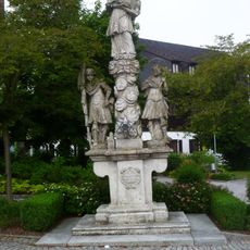
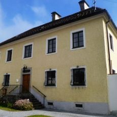
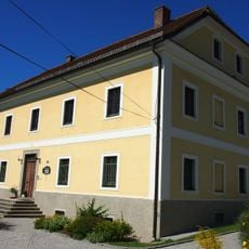
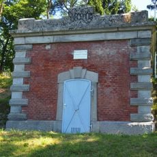
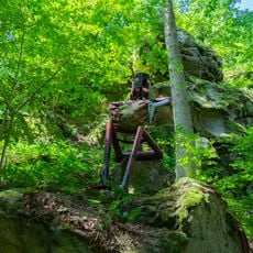
Grünbach, municipality in Freistadt District, Upper Austria, Austria
Location: Freistadt District
Elevation above the sea: 721 m
Shares border with: Leopoldschlag, Windhaag bei Freistadt, Sandl, Sankt Oswald bei Freistadt, Lasberg, Freistadt, Rainbach im Mühlkreis
Email: gemeinde@gruenbach.ooe.gv.at
Website: http://gruenbach.at
GPS coordinates: 48.53889,14.53611
Latest update: April 9, 2025 09:09
Viehberg
6.8 km
Thurytal
2.3 km
Filialkirche hl. Michael ob Rauchenödt
3.1 km
Liebfrauenkirche Freistadt
3.6 km
Pfarrkirche Rainbach im Mühlkreis
5 km
Pfarrkirche Windhaag bei Freistadt
5.7 km
Saint Nicholas Church
190 m
Freilichtmuseum Hofwieshammer
6.3 km
Ehem. Friedhof der Liebfrauenkirche in Freistadt
3.6 km
Hubertuskapelle, Antoniuskapelle in Bockau
3.6 km
Mesnerhaus hl. Michael ob Rauchenödt
3.1 km
Waldmuseum, Mühlviertler Waldhaus
5.6 km
Michaelskapelle
5 km
Weinhäusl, Wäschepflegemuseum
4.9 km
Brunnen
5.6 km
Sowjetrussischer Friedhof Freistadt
3.2 km
Hussenstein bei Fünfling
4.6 km
Ehem. Weißgerberei Böck
3.6 km
Pfarrhof
4.9 km
Altes Schulhaus, Ehem. Bruckner-Schule
5.7 km
Landhaus, ehem. Fischeinsetz
3.5 km
Figurenbildstock hl. Leonhard
3.7 km
Figurenbildstock hl. Johannes Nepomuk mit Florian und Donatus
5.6 km
Pfarrhof
5.6 km
Pfarrhof
166 m
Wasserversorgungsanlage
2.5 km
Teufelsfelsen
2.3 km
Lärche in Rauchenödt
3.1 kmReviews
Visited this place? Tap the stars to rate it and share your experience / photos with the community! Try now! You can cancel it anytime.
Discover hidden gems everywhere you go!
From secret cafés to breathtaking viewpoints, skip the crowded tourist spots and find places that match your style. Our app makes it easy with voice search, smart filtering, route optimization, and insider tips from travelers worldwide. Download now for the complete mobile experience.
A unique approach to discovering new places❞
— Le Figaro
All the places worth exploring❞
— France Info
A tailor-made excursion in just a few clicks❞
— 20 Minutes