
Straßgang, 16. district of Graz
Location: Graz
Shares border with: Gries, Wetzelsdorf, Puntigam
GPS coordinates: 47.02500,15.40778
Latest update: March 4, 2025 19:16
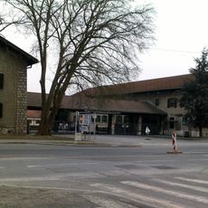
Belgier barracks
3.2 km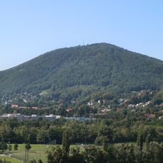
Plabutsch
3.8 km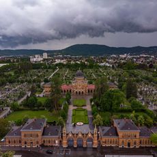
Zentralfriedhof Graz
2.6 km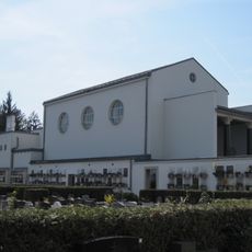
Urnenfriedhof/Feuerhalle
2.7 km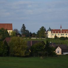
Schloss Sankt Martin
1.8 km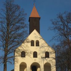
St. Johann und Paul, Graz
3.5 km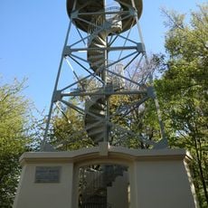
Kronprinz-Rudolf-Warte Graz
2.9 km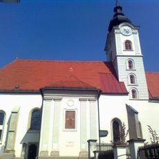
Church Maria im Elend
733 m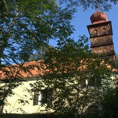
Filialkirche hl. Florian, Straßgang
1.4 km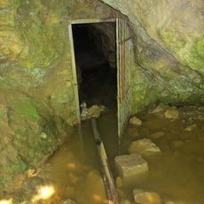
Eisbründlhöhle
2.8 km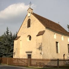
Rupertikirche
662 m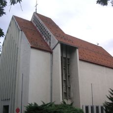
Christkönigskirche Graz
3 km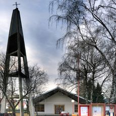
Elisabethkirche
1.6 km
Saint Leopold III Church
1.4 km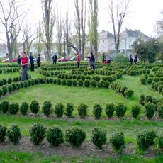
Kunstgarten Graz
3.2 km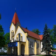
Church of the Holy Cross
1.6 km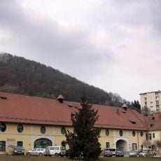
Krottenhof
3 km
Ansitz Hochkofler
2.2 km
Parochial House Straßgang
734 m
Wohnhaus, ehem. Mesnerhaus
766 m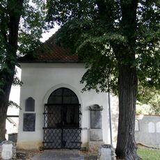
Jubiläumskapelle
747 m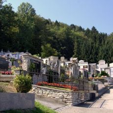
Friedhof
892 m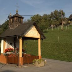
Flur-/Wegkapelle, Paar-Kreuz
2.2 km
Ehem. Kapelle hl. Josef/heute Thomas v. Aquin im Julius Raab-Lehrlingsheim
2.4 km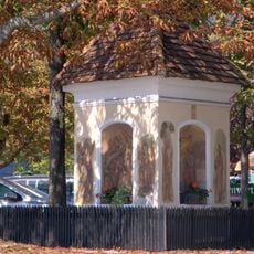
Bauernwirt-Kapelle
1.8 km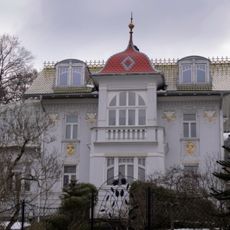
Sogen Zarenvilla mit Pavillon
3.5 km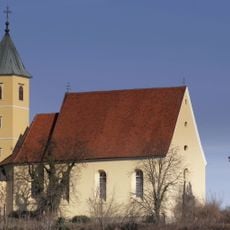
Schlosskirche St. Martin
1.9 km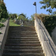
Stiegenanlage
717 mReviews
Visited this place? Tap the stars to rate it and share your experience / photos with the community! Try now! You can cancel it anytime.
Discover hidden gems everywhere you go!
From secret cafés to breathtaking viewpoints, skip the crowded tourist spots and find places that match your style. Our app makes it easy with voice search, smart filtering, route optimization, and insider tips from travelers worldwide. Download now for the complete mobile experience.

A unique approach to discovering new places❞
— Le Figaro
All the places worth exploring❞
— France Info
A tailor-made excursion in just a few clicks❞
— 20 Minutes