
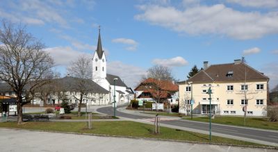
Gschwandt, municipality in Gmunden District, Upper Austria, Austria
Location: Gmunden District
Elevation above the sea: 523 m
Shares border with: Ohlsdorf, Laakirchen, Kirchham, Sankt Konrad, Gmunden
Email: gemeinde@gschwandt.ooe.gv.at
Website: http://gschwandt.at
GPS coordinates: 47.93500,13.84556
Latest update: March 11, 2025 05:13
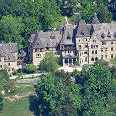
Schloss Cumberland
2.9 km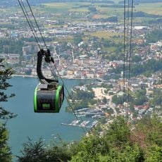
Grünbergseilbahn
3.7 km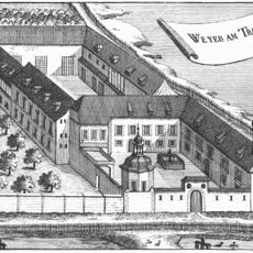
Schloss Weyer
3.4 km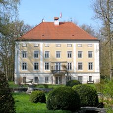
Schloss Oberweis
2.9 km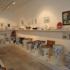
Exhibition "Klo & So"
3.8 km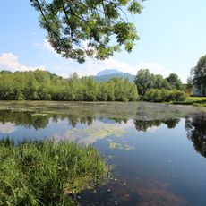
Krottensee
2.9 km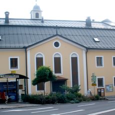
Karmelitinnenkloster Gmunden
3.7 km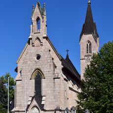
Gmunden Auferstehungskirche
3.5 km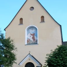
Kapuzinerkloster Gmunden
3.6 km
Château Mühlwang
3.4 km
Bezirksgericht Gmunden
3.7 km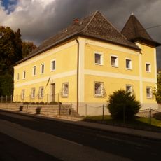
Freisitz Moos
3.2 km
K.k. Amtsgebäude Gmunden
3.6 km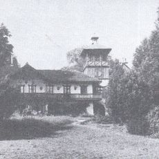
Freisitz Weinberg
3.2 km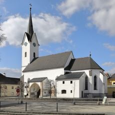
Pfarrkirche hl. Katharina, Gschwandt
27 m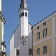
Spitalkirche hl. Jakob, Gmunden
3.8 km
Freisitz Mühlleiten
3.6 km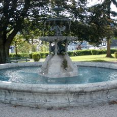
Brunnen im Viktoria Luise Park
3.4 km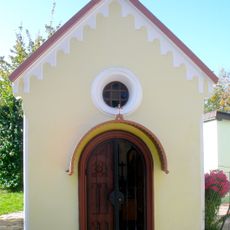
Gmunden Wegkapelle Weyerstraße
3.7 km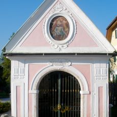
Brunnenwegkapelle
3.2 km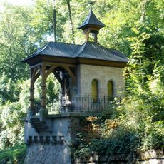
Gmunden Wegkapelle Cumberlandstraße
3.1 km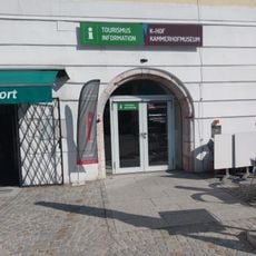
K-Hof Kammerhofmuseen Gmunden
3.8 km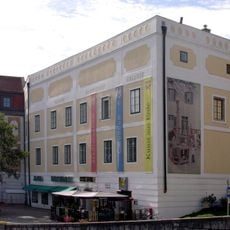
Kammerhof (Gmunden)
3.8 km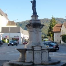
Brunnen
3.7 km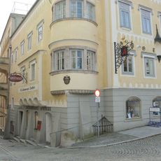
Salzkammergutapotheke, Gmunden
3.8 km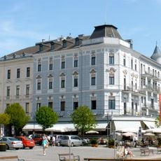
Hotel Schwan, Rotmarmorportal
3.9 km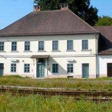
Aufnahmsgebäude Bahnhof Engelhof
2.4 km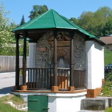
Trinkhalle Zum Heiligen Brunnen
3.2 kmReviews
Visited this place? Tap the stars to rate it and share your experience / photos with the community! Try now! You can cancel it anytime.
Discover hidden gems everywhere you go!
From secret cafés to breathtaking viewpoints, skip the crowded tourist spots and find places that match your style. Our app makes it easy with voice search, smart filtering, route optimization, and insider tips from travelers worldwide. Download now for the complete mobile experience.

A unique approach to discovering new places❞
— Le Figaro
All the places worth exploring❞
— France Info
A tailor-made excursion in just a few clicks❞
— 20 Minutes