Klaus an der Pyhrnbahn
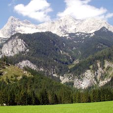
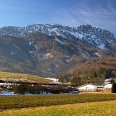
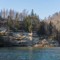
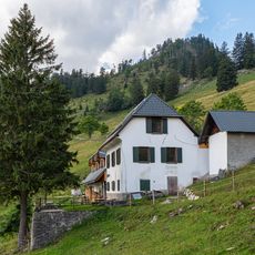
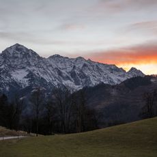
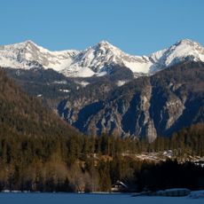
Klaus an der Pyhrnbahn, municipality in Kirchdorf District, Upper Austria, Austria
Location: Kirchdorf District
Elevation above the sea: 466 m
Shares border with: Molln, Sankt Pankraz, Hinterstoder, Grünau im Almtal, Micheldorf in Oberösterreich
Email: info@gemeinde-klaus.at
Website: http://gemeinde-klaus.at
GPS coordinates: 47.83056,14.15806
Latest update: March 7, 2025 16:22
Großer Priel
14.5 km
Schloss Klaus
821 m
Kremsmauer
4.6 km
Kleiner Priel
11.1 km
Saint John the Baptist church in Klaus an der Pyhrnbahn
889 m
Teufelskirche
6 km
Spering
4 km
Pfarrkirche Klaus an der Pyhrnbahn
113 m
Brennet
1.8 km
Pfarrkirche Unbefleckte Empfängnis Mariä, Steyrling
3.4 km
Forstgebäude
1.7 km
Stausee Klaus
741 m
Moser-Kapelle
3.5 km
Eiskar
11.7 km
Obere Wallergrabenhütte
3.5 km
Arztvilla
2.9 km
Steyrling-Brücke der Pyhrnbahn
3 km
Aufnahmsgebäude Bahnhof Klaus an der Pyhrnbahn
336 m
Ehem. Lokschuppen
195 m
Großer Ödsee
12.8 km
Evertsbach
2 km
Konglomeratwand an der Steyr
5.6 km
Gradnalm
6.5 km
Himmelreich
3.8 km
Burgruine Klaus
824 m
Stücklerkar
10.7 km
Huemerkar
11.8 km
Kampkar
10.5 kmReviews
Visited this place? Tap the stars to rate it and share your experience / photos with the community! Try now! You can cancel it anytime.
Discover hidden gems everywhere you go!
From secret cafés to breathtaking viewpoints, skip the crowded tourist spots and find places that match your style. Our app makes it easy with voice search, smart filtering, route optimization, and insider tips from travelers worldwide. Download now for the complete mobile experience.
A unique approach to discovering new places❞
— Le Figaro
All the places worth exploring❞
— France Info
A tailor-made excursion in just a few clicks❞
— 20 Minutes