Kremsmauer, Mountain summit in Upper Austrian Prealps, Austria.
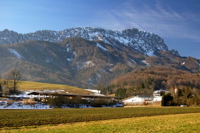
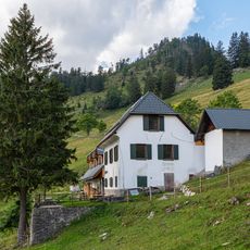
Kremsmauer is a mountain summit in the Upper Austrian Prealps reaching about 1,600 meters in elevation. The peak spans across Klaus an der Pyhrnbahn and Micheldorf, featuring a ridge walk with secured climbing sections and open views toward surrounding ranges.
The mountain was developed during the early 20th century when Alpine clubs established marked routes, which brought mountaineering activities to the region. This development reflected the growing popularity of alpinism in Austria during that period.
The summit serves as a gathering place for regional hikers who maintain long-standing traditions and celebrate their connection to the mountains. These practices show how central the peak is to the identity and community bonds of the area.
The hike takes about three and a half hours with roughly 1,100 meters of elevation gain over about 12 kilometers of trail. Proper footwear and sure-footedness are important, especially through the secured climbing sections.
The ridge walk combines both technically secured climbing passages and open vistas toward the Totes Gebirge, creating distinct sections within a single route. These contrasts between exposed terrain and panoramic views make the experience memorable.
The community of curious travelers
AroundUs brings together thousands of curated places, local tips, and hidden gems, enriched daily by 60,000 contributors worldwide.