Grünau im Almtal, municipality in Gmunden District, Upper Austria, Austria
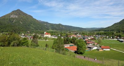
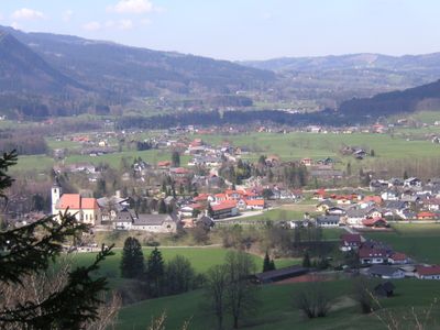
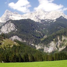
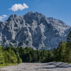
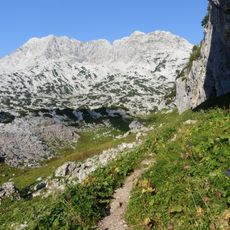
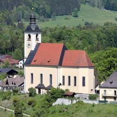
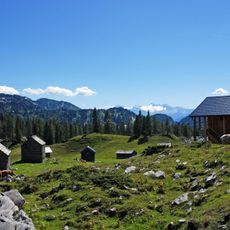
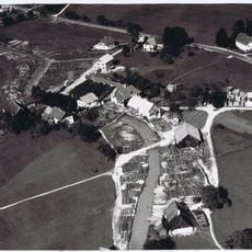
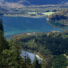
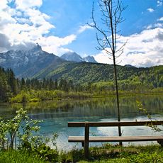
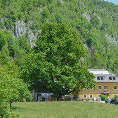
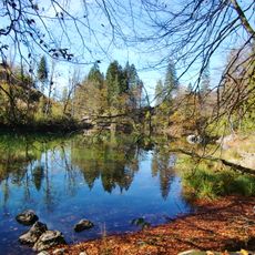
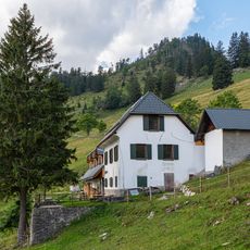
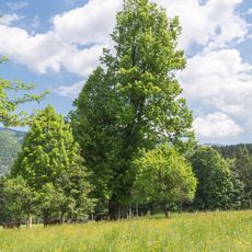
Grünau im Almtal is a small municipality in the Almtal valley in Austria's Gmunden district, surrounded by forests and mountains. The settlement spreads along quiet roads and pathways that wind through fields and woods, with views of the Totes Gebirge mountain range.
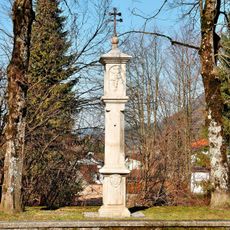
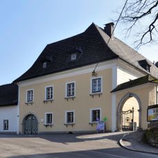
The area has been connected to the Benedictine monastery of Kremsmünster since the 8th century. In the late 1800s, King Georg V of Hanover chose this village as a retreat during his exile, and his family retained ownership of land here.
The name refers to the green meadows and forests of the Almtal valley that shape daily life here. Visitors notice how locals move through their routines connected to the rhythms of nature, from morning walks to evening views of the mountains.
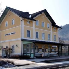
The village is easily reached by train, bus, or car, with direct train service from Wels. Most visitors use public transport to escape city life and arrive at a slower pace.
Every Wednesday evening from mid-June to mid-July, local brass musicians perform a unique concert called Echoblasen, where sound bounces off the surrounding peaks and draws locals and visitors alike. This tradition connects the place's musical heritage to its mountain landscape.
The community of curious travelers
AroundUs brings together thousands of curated places, local tips, and hidden gems, enriched daily by 60,000 contributors worldwide.