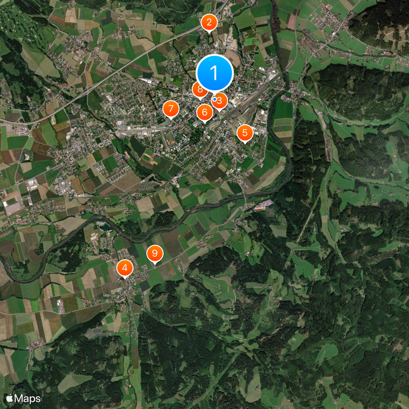
Knittelfeld, Municipality in Murtal District, Austria
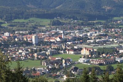
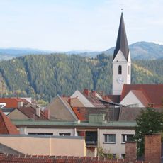
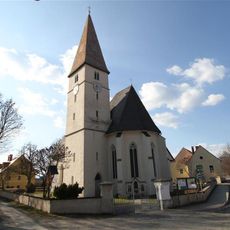
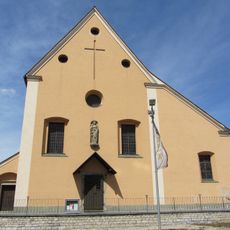
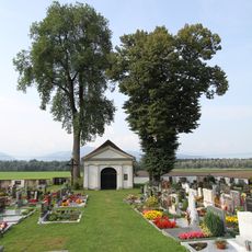
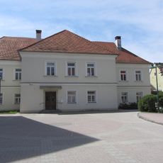
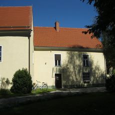
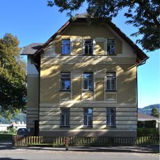
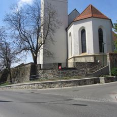
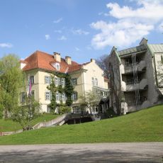
Knittelfeld is a town with municipal rights in Murtal District, situated along the Mur River in Styria. The area contains residential and commercial sections interspersed with green spaces, shaped by the river landscape that runs through it.
The town gained its municipal rights because of its strategic position along an important trade route in the region. In 2012, the merger of the former Knittelfeld District with Judenburg District reshaped its administrative boundaries and governance structure.
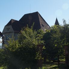
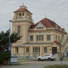
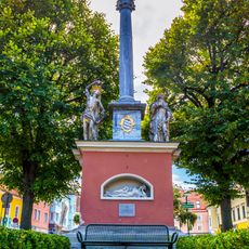
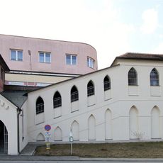
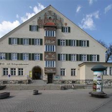
Traditional buildings mix with modern structures throughout the town center, shaping how locals and visitors move through the streets. The community gathers regularly at public squares for markets and events that bring people together.
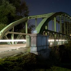
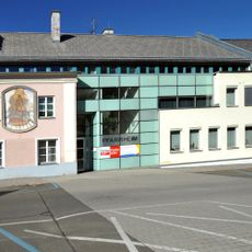
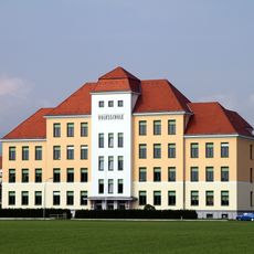
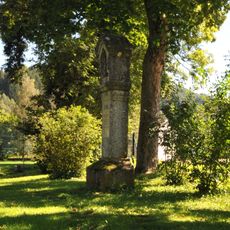
The town offers good infrastructure with shops, banks, restaurants, and public services distributed across the area. The Mur River provides opportunities for activities like walks along the banks and access to outdoor recreation throughout the year.
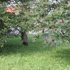
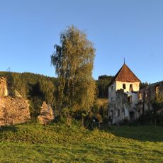
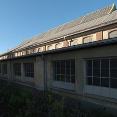
The town's forestry department earned the PEFC Award in 2024 for exemplary woodland management practices. This recognition highlights the place's commitment to sustainability and protecting nature in the region.
Location: Murtal District
Elevation above the sea: 645 m
Shares border with: Spielberg
Email: stadtgemeinde@knittelfeld.gv.at
Website: https://knittelfeld.at
GPS coordinates: 47.21500,14.82944
Latest update: December 20, 2025 12:50
Schloss Hautzenbichl
1.2 km
Stadtpfarrkirche Knittelfeld
215 m
Pfarrkirche St. Lambert, Großlobming
3.5 km
Israelitischer Friedhof Knittelfeld
940 m
Evang. Pfarrkirche Knittelfeld
445 m
Filialkirche St. Johann im Felde
854 m
Kapuzinerkirche Maria Verkündigung
251 m
Sonstiger Begräbnisplatz Großlobming
3.1 km
Nepomukkapelle Großlobming
3.8 km
Hackenschmiede Mitterlobming
5.1 kmEisenbahnmuseum Knittelfeld
924 m
Murbrücke
1.3 km
Pfarrhof Christus als König, Knittelfeld
203 m
Straßenbrücke, Murbrücke
1.3 km
Pfarrhof St. Lambert, Großlobming
3.5 km
Substation Knittelfeld
1.2 km
Mariensäule, Knittelfeld
50 m
Pfarrheim, ehem. Benefiziatenhaus, „Stifthäusl“
167 m
Grabstein/Grabplatte
860 m
Pfarrhof, Evang. Pfarramt Knittelfeld
486 m
Teile der Stadtbefestigung
219 m
Landschachervolksschule Knittelfeld
808 m
Einödhof, Apfelberg
2.5 km
Lutherstiege, Knittelfeld
159 m
Schloss Großlobming
3.9 km
Bildstock Schlosspark Großlobming
3.8 km
Lokmontierungshalle
534 m
Postgebäude
220 mVisited this place? Tap the stars to rate it and share your experience / photos with the community! Try now! You can cancel it anytime.
Discover hidden gems everywhere you go!
From secret cafés to breathtaking viewpoints, skip the crowded tourist spots and find places that match your style. Our app makes it easy with voice search, smart filtering, route optimization, and insider tips from travelers worldwide. Download now for the complete mobile experience.
A unique approach to discovering new places❞
— Le Figaro
All the places worth exploring❞
— France Info
A tailor-made excursion in just a few clicks❞
— 20 Minutes