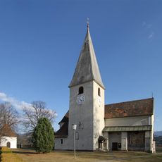
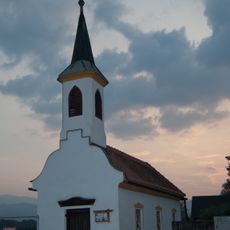
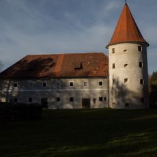
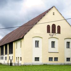
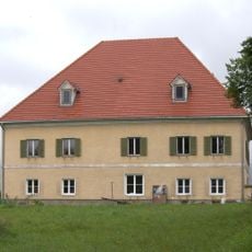
Zeltweg, municipality in Murtal District, Styria, Austria
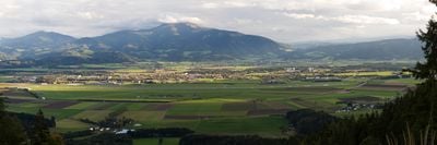
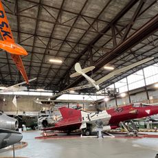
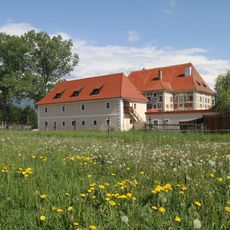
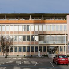
Zeltweg is a municipality with town privileges located in the Murtal District of Austria. The area is crossed by the Mur River and features a modern sports center with an ice rink, soccer fields, and running track, along with an air base serving the Austrian military.
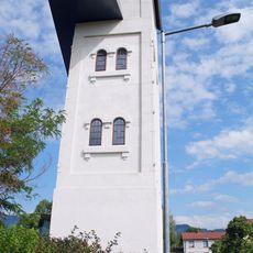
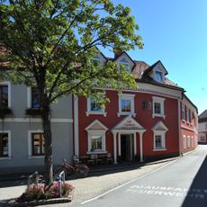
The area was first inhabited in the 13th century and received its first written record in 1430 under the name CELTWICH. Growth accelerated in the 19th century when a metal factory was established and the railway station was built in the late 1860s.
The name Zeltweg comes from the medieval designation CELTWICH, documented since 1430. Visitors notice how locals blend pride in industrial heritage with active engagement in sports events and aircraft displays at the nearby air base.
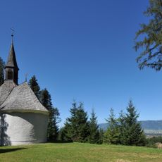
The area offers year-round activities: cycling and boating along the Mur River in summer, cross-country skiing in winter. Good road infrastructure and a well-equipped sports center make exploration convenient, with lodging and local restaurants readily available.
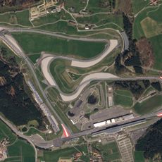
The town was once a center for motor racing with car races held on the air strip. Although the races later moved to another location, the place maintains its reputation in racing circles for this motorsport heritage.
The community of curious travelers
AroundUs brings together thousands of curated places, local tips, and hidden gems, enriched daily by 60,000 contributors worldwide.