Enable Location

We need your location to show you interesting places around you

Discover nearby places

Find interesting locations and hidden gems around you

Precise directions

Get accurate directions and distances to places

Your location is never shared with other users. It's only used when you tap the location button.

Zillertal

Log in to your account

Save your favorite places
Create custom travel routes
Rate and review places
Access the full interactive map
Continue with Google
Continue with Apple
Continue with email
By continuing, you accept our Terms and Conditions and our Privacy Policy
Create an account

Zillertal

Add to collection
Map
Suggest a change
Share

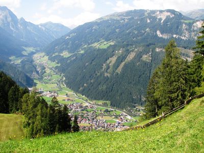
Zillertal, Alpine valley in Tirol, Austria

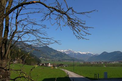
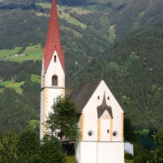
The Zillertal runs through the Austrian Alps and is bordered by forested slopes and snow-covered peaks rising on both sides. The Ziller River flows through the entire center of the valley and connects the individual towns, while side valleys lead into higher mountain regions.

The first written records of the area date to the 9th century, when the land was handed over to church authorities for settlement. Over the centuries, small communities developed along the river, living from farming and mining.

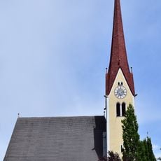
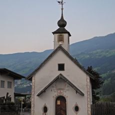
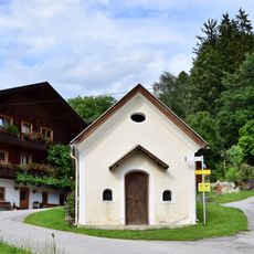
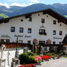
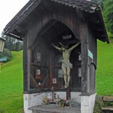
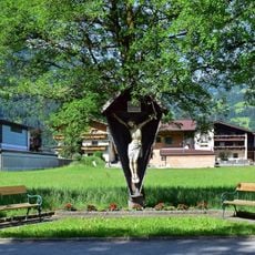
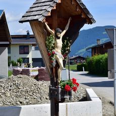
The valley takes its name from the Ziller River, which flows along its entire length and has shaped the lives of residents for centuries. In the villages along the river, farmhouses and churches show how closely people here are connected to the landscape.

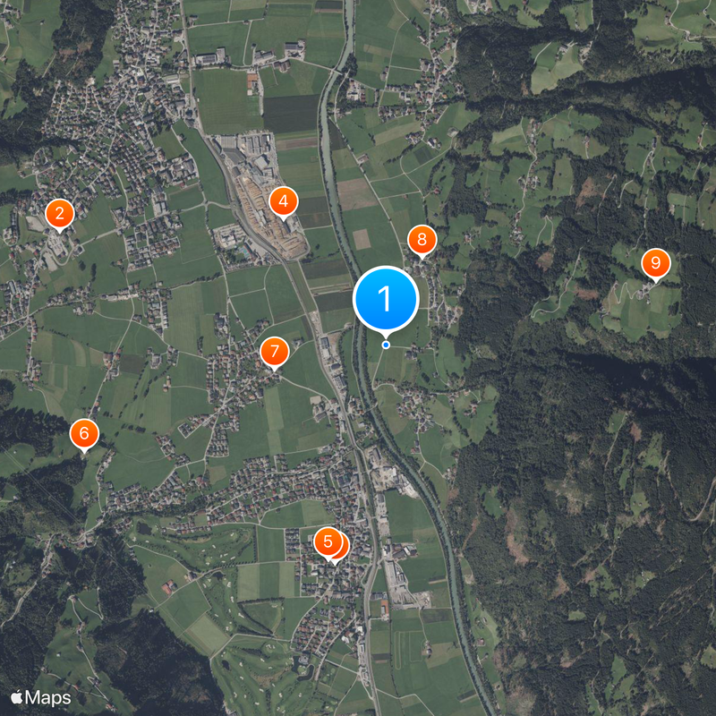
The main road runs through the entire valley and connects all the larger towns, while buses travel regularly between the communities. Hiking trails of varying difficulty start directly in the villages and lead into the surrounding mountains.

Although the valley is now known mainly for winter sports, copper was mined here for centuries, as evidenced by old tunnel entrances in the side valleys. The mines shaped the economic life of the communities well into the 19th century.

Location: Kaltenbach

Elevation above the sea: 542 m

Address: Zillertal, 6271 Uderns, Austria

GPS coordinates: 47.33333,11.86667

Latest update: January 27, 2026 10:53

Photos
Tyrol Austria: must-visit places, mountain villages and natural sites

The Austrian Tyrol combines mountain landscapes, historic towns, and valleys where mountain life has gone on for hundreds of years. Innsbruck, the regional capital, has a old center with colorful buildings and archways. Valleys like Zillertal and Ötztal go deep into the Alps. They have villages...

Reviews

Visited this place? Tap the stars to rate it and share your experience / photos with the community! Try now! You can cancel it anytime.

« Zillertal - Alpine valley in Tirol, Austria » is provided by Around Us (aroundus.com). Images and texts are derived from Wikimedia project under a Creative Commons license. You are allowed to copy, distribute, and modify copies of this page, under the conditions set by the license, as long as this note is clearly visible.

Discover hidden gems everywhere you go!

From secret cafés to breathtaking viewpoints, skip the crowded tourist spots and find places that match your style. Our app makes it easy with voice search, smart filtering, route optimization, and insider tips from travelers worldwide. Download now for the complete mobile experience.

Around Us App Screenshot

A unique approach to discovering new places

Le Figaro

All the places worth exploring

France Info

A tailor-made excursion in just a few clicks

20 Minutes