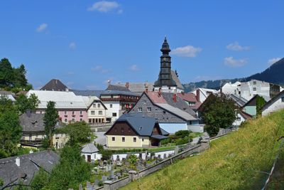
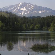
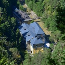
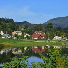
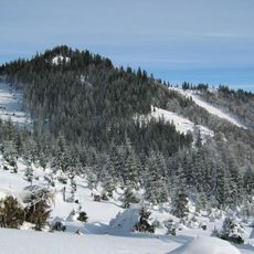
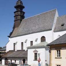
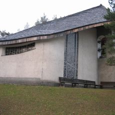
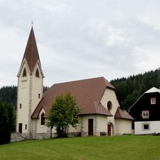
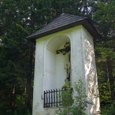
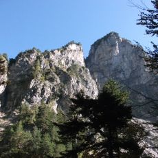
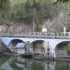
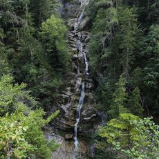
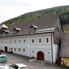
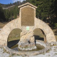
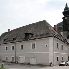
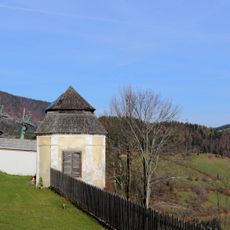
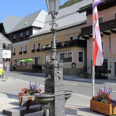
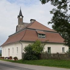
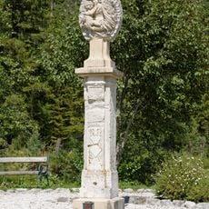
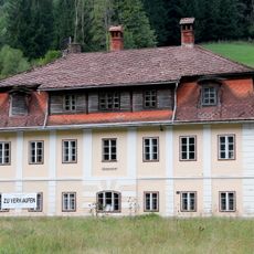
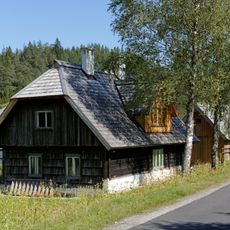
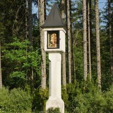
Annaberg, municipality in Lilienfeld District, Lower Austria, Austria
Location: Lilienfeld District
Elevation above the sea: 976 m
Shares border with: Puchenstuben, Schwarzenbach an der Pielach, Türnitz, Sankt Aegyd am Neuwalde, Mariazell, Mitterbach am Erlaufsee
Email: gemeinde@annaberg.gv.at
Website: http://annaberg.gv.at
GPS coordinates: 47.87167,15.37611
Latest update: March 3, 2025 05:28
Erlauf-Stausee
8.2 km
Wienerbruck power plant
6.9 km
Wienerbruck
5.3 km
Großer Sulzberg
3.7 km
Pfarrkirche Annaberg
56 m
Pfarrkirche Josefsberg
5.6 km
Filialkirche Joachimsberg
4.1 km
Nicholas of Flüe Church
7 km
Evangelische Pfarrkirche Annaberg
4.9 km
Hubertuskapelle, Objekt 6
7 km
Hohe-Kreuz-Kapelle
5.7 km
Hintere Tormäuer
8 km
Hubertusseebrücke
7.2 km
Lassingfall
6.4 km
Wohnhaus Kaiserhaus
29 m
Quellfassung, Walsterursprung
3.2 km
Pfarrhof
59 m
Pavillon
93 m
Arthur-Krupp-Gedenktafel am Hubertussee
7.2 km
Bildstock Urlauberkreuz
2.3 km
Brunnen
26 m
Pfarrhof
5.6 km
Bülow-Gedenkstein
7.2 km
Bildstock
4.5 km
Czedik-Marterl
6.8 km
Ödhof, ehem. Gutshof
2.3 km
Söllnerhaus und Nebengebäude
7.2 km
Antoniussäule
6.9 kmReviews
Visited this place? Tap the stars to rate it and share your experience / photos with the community! Try now! You can cancel it anytime.
Discover hidden gems everywhere you go!
From secret cafés to breathtaking viewpoints, skip the crowded tourist spots and find places that match your style. Our app makes it easy with voice search, smart filtering, route optimization, and insider tips from travelers worldwide. Download now for the complete mobile experience.
A unique approach to discovering new places❞
— Le Figaro
All the places worth exploring❞
— France Info
A tailor-made excursion in just a few clicks❞
— 20 Minutes