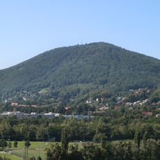
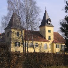
Thal, Market municipality in Graz-Umgebung District, Austria.
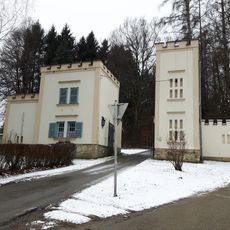
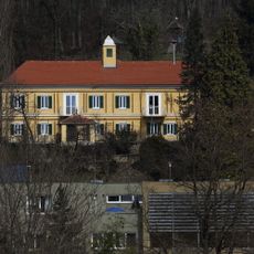
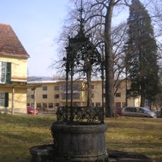
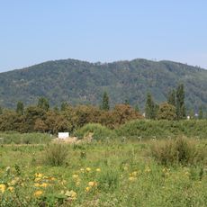
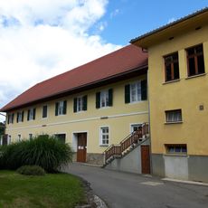
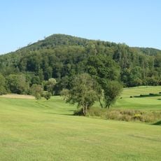
Th al is am ark et municipalit y in Gr az - Um ge bung Dis tri ct, s itu ated ab out fiv ek il ome ters we st of Gr az , sp read ing ac ross gentl e hills andfl at section softhe reg ion. Thecenter of th esettlement includ esresidential areas, administr ative bui ldings anda handfu l of local shops connected byshort streets and quiet pathways.
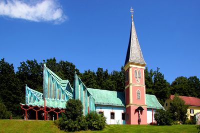
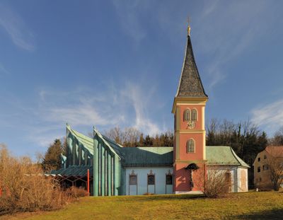
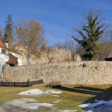
The fir st set tle ments app eared here durin g the te nth century when sca ttered ham let s gradually gr ew into as ingle commu nity. On Jan uary 1, 1895 , Th al off ic ially receiv ed mark et town rig hts after being know n for decades asStJakob Thal.
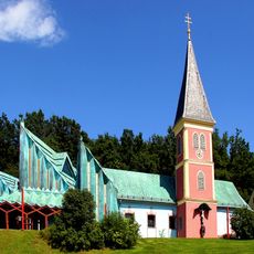
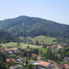
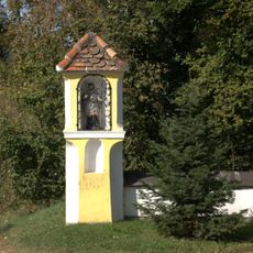
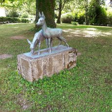
Th e municipalit y' sname come sf ro mt he G erm anwo rd for valley , refle ct in g ho w th e s ett le m ent n es tl es b etw een gentl e hillsi des t ha to p en towa rd th e nearby capi t al.W al ki ng through th e ce nter, y ou pass residential street s wher e families li v e qu ie tly and smal l busine sses se rv e dai ly needs , givin g th e place a neighborh oodfe el rath er tha na tourist s top.
Themu nic ipal ity iseasilyreach edbycar or short busridsfrom Gr az, while th estree ts andpath way swithin thesettlem ent arestraightforward forwalkersandc yclists.Afew hoursi soften enough toexp loreth emain points ofinterest, asthe yliem ostly around thecenter.
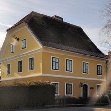
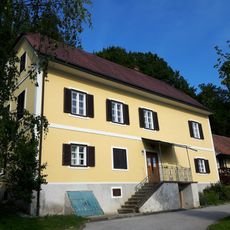
TheArnoldSchw arze neg gerMuse umo pened in 2011 withinthechildhood homeofthiswell - kn ownfigure, displayingobjects, photog raphs andmemorabiliaofhisear lyyears andc areer.Theco llection sit sinsideanapartment whereafamil yonce liv ed, offering apersonal glimpse intohisbeginnings beforeint ernationalfame.
The community of curious travelers
AroundUs brings together thousands of curated places, local tips, and hidden gems, enriched daily by 60,000 contributors worldwide.