Hochreichhart, Mountain summit in Seckau Tauern, Austria
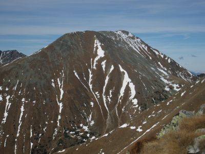
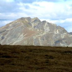
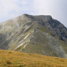
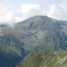
Hochreichhart is a mountain summit in the Seckau Tauern range, rising to 2,416 meters with multiple routes of varying difficulty. The terrain alternates between rocky sections and more open slopes that offer different views across the surrounding landscape.
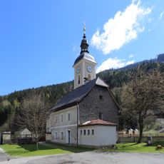
The Seckau Tauern region served as a natural boundary between northern and southern Styria during medieval times in Austrian territorial divisions. The mountain area maintained this role as a geographical dividing line across the centuries.
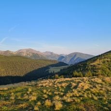
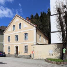
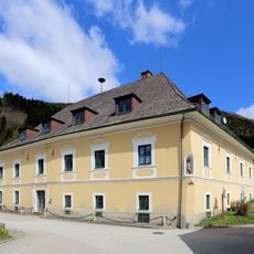
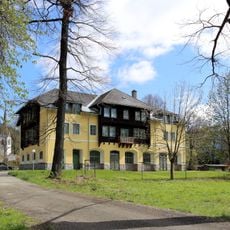
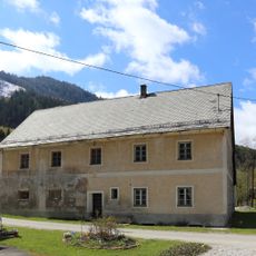
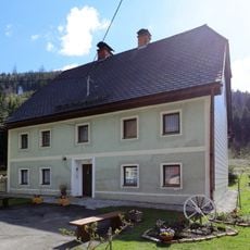
The mountain draws hikers from surrounding villages who use its routes to explore the alpine landscape regularly. The marked paths here form part of how local people connect with and move through the mountain region.
The main hiking route to the summit starts from Ingeringsee and covers roughly ten kilometers, requiring sturdy footwear and proper alpine gear. The ascent takes several hours and is best tackled during periods of stable weather conditions.
The route traverses several distinct peaks that together form a small ridgeline with varying elevations and outlooks. Visiting multiple summit points along the way provides a richer understanding of how the local mountain structure is organized.
The community of curious travelers
AroundUs brings together thousands of curated places, local tips, and hidden gems, enriched daily by 60,000 contributors worldwide.