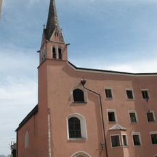
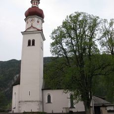
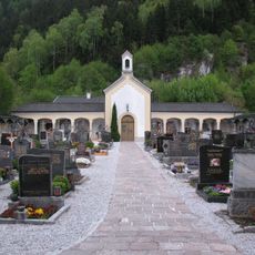
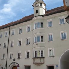
Rattenberg, Medieval municipality in Kufstein District, Austria.
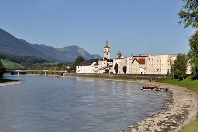
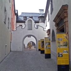
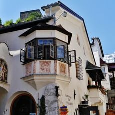
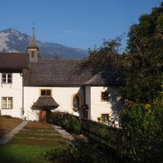
Rattenberg is a small town nestled along the Inn River with medieval streets and historic building facades that line narrow walkways. The compact size and valley location give it a tight, intimate character that feels distinct from larger neighboring settlements.
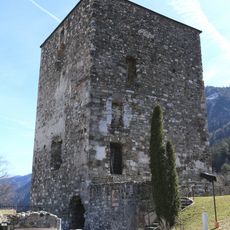
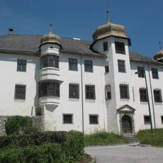
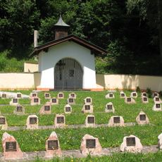
The town was fortified in its early years to protect the region and received official city rights in 1393. This legal recognition helped establish it as an important local center, shaping its development for centuries to come.
Glassmaking defines the town's identity, with crystal workshops scattered throughout where skilled artisans produce intricate pieces by hand. Walking through the streets, you'll see finished glasswork displayed in shop windows, showing how this craft remains central to local life.
The narrow streets make walking the best way to explore, as everything sits within an easy reach. Parking is available near the town entrances, and comfortable shoes are important since the streets are winding and compact.
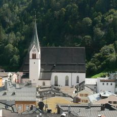
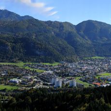
The town sits in a narrow valley where sunlight is blocked for extended periods during winter months. This unusual natural condition creates a distinctive mood during the darker seasons and is something visitors often don't expect when they arrive.
Location: Kufstein District
Elevation above the sea: 521 m
Shares border with: Radfeld
Email: gemeinde@rattenberg.tirol.gv.at
Website: https://rattenberg.at
GPS coordinates: 47.43889,11.89333
Latest update: December 14, 2025 04:06
Museumsfriedhof
1.8 km
Burgruine Rattenberg
21 m
Saint Virgilius in Rattenberg
87 m
Augustinermuseum Rattenberg
164 m
Stadtberg
562 m
Schloss Lanegg
1.6 km
Kramsach, Schloss Achenrain
1.7 km
Kramsach, Pfarrkirche hl. Nikolaus
1.1 km
Kramsach, Voldöpp, Waldfriedhof
1.5 km
Pfarrkirche Unserer Lieben Frau Vermählung, Brixlegg
1.6 km
Filialkirche hl. Bartholomäus
1.7 km
Malerwinkel, Rattenberg, Tyrol
67 m
Spitalskirche Hl. Geist, Rattenberg
211 m
Filialkirche hl. Briccius, Radfeld
1.6 km
Friedhof Brixlegg
1.6 km
Kramsach, Voldöpp, Friedhof und Kapelle
1.2 km
Friedhof Rattenberg und Friedhofskapelle
338 m
Dorfbrunnen Mehrn
1.7 km
Hassauerstraße 76, 77
161 m
Florianbrunnen
191 m
Wallfahrtskirche Mariahilf, Brixlegg
1.1 kmPrähistorischer Siedlungshügel „Hochkapelle“
1.2 km
Kramsach, Kohlerkapelle
1.1 km
Volkstheater Brixlegg/ ehem. Kaltschmied`sches Theater/ Judenwirtstheater
1.5 km
Kramsach, Dreieckskapelle
904 m
Peyerlkapelle
1.7 km
Radfeld, Stadtbergkapelle
351 m
Gasthof Kirchenwirt, Mehrn
1.7 kmVisited this place? Tap the stars to rate it and share your experience / photos with the community! Try now! You can cancel it anytime.
Discover hidden gems everywhere you go!
From secret cafés to breathtaking viewpoints, skip the crowded tourist spots and find places that match your style. Our app makes it easy with voice search, smart filtering, route optimization, and insider tips from travelers worldwide. Download now for the complete mobile experience.
A unique approach to discovering new places❞
— Le Figaro
All the places worth exploring❞
— France Info
A tailor-made excursion in just a few clicks❞
— 20 Minutes