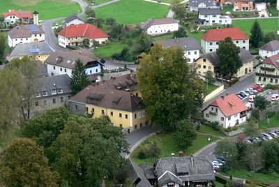
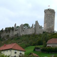
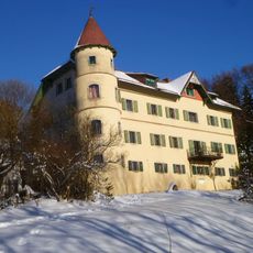
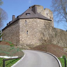
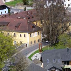
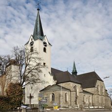
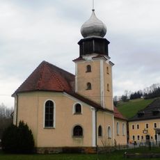
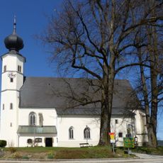
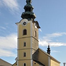
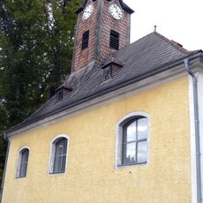
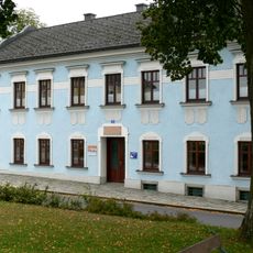
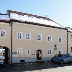
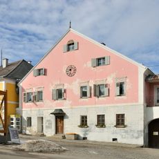
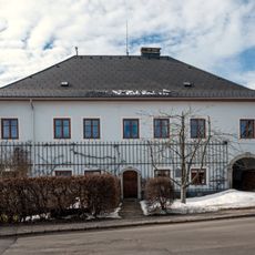
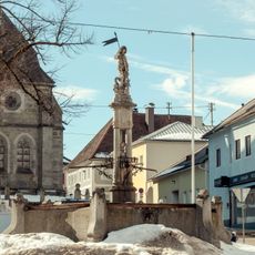
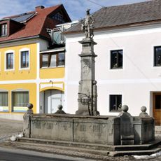
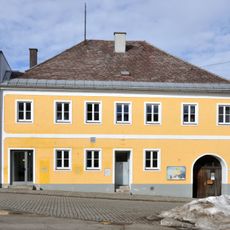
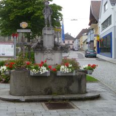
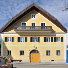
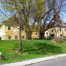
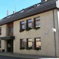
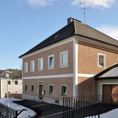
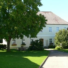
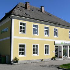
Oberneukirchen, municipality in Urfahr-Umgebung District, Upper Austria, Austria
Location: Urfahr-Umgebung District
Elevation above the sea: 774 m
Shares border with: Helfenberg, Vorderweißenbach, Bad Leonfelden, Zwettl an der Rodl, Eidenberg, Herzogsdorf, Sankt Veit im Mühlkreis
Email: gemeinde@oberneukirchen.ooe.gv.at
Website: http://oberneukirchen.ooe.gv.at
GPS coordinates: 48.46472,14.22722
Latest update: March 3, 2025 20:38
Waxenberg Castle
3.1 km
Schloss Brunnwald
6.3 km
Burgruine Lobenstein, Oberneukirchen
2.4 km
Waxenberg - Altes Schloss
3 km
Burgruine Rotenfels
4.7 km
Oberneukirchen Parish Church
50 m
Marienkirche Untergeng
4.3 km
St.Vitus in St.Veit im Mühlkreis
4.7 km
Saint Joseph the Worker church
5.8 km
St.Joseph in Waxenberg
3 km
Heimatmuseum, ehem. Zulehner-Hofstatt
4.7 km
Wohn- und Geschäftshaus, Geburtshaus von Hans Schnopfhagen
49 m
Altes Brauhaus
51 m
Brunnen
3 km
Pfarrhof
113 m
Georgsbrunnen
10 m
Hubertusbrunnen
156 m
Wohn- und Geschäftshaus
36 m
Mühlviertler Büabl-Brunnen
42 m
Schülerinnenheim St. Clara
28 m
Drei Schlosslinden in Waxenberg
3 km
Gemeindeamt St. Veit im Mühlkreis
4.6 km
Pfarrhof Großtraberg
5.8 km
Pfarrhof
4.7 km
Steintisch
72 m
Ehem. Schnopfhagen-Schule
4.6 km
Kapellenlinde bei Zwettl an der Rodl
2 km
Linde in Oberneukirchen
356 mReviews
Visited this place? Tap the stars to rate it and share your experience / photos with the community! Try now! You can cancel it anytime.
Discover hidden gems everywhere you go!
From secret cafés to breathtaking viewpoints, skip the crowded tourist spots and find places that match your style. Our app makes it easy with voice search, smart filtering, route optimization, and insider tips from travelers worldwide. Download now for the complete mobile experience.
A unique approach to discovering new places❞
— Le Figaro
All the places worth exploring❞
— France Info
A tailor-made excursion in just a few clicks❞
— 20 Minutes