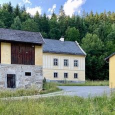
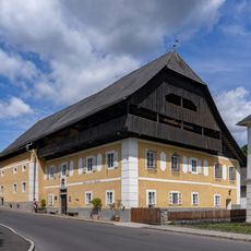
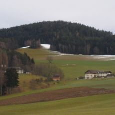
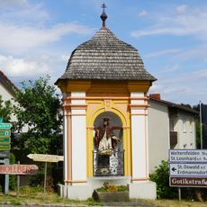
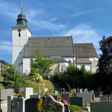
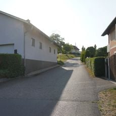
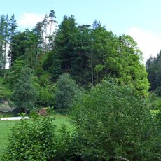
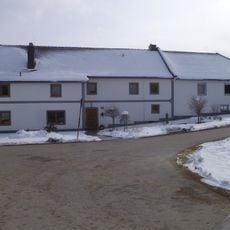
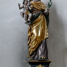
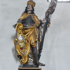
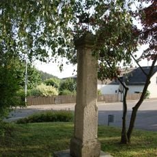
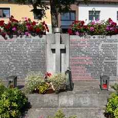
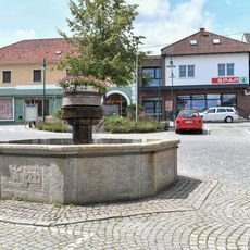
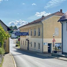
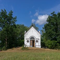
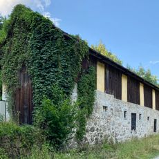
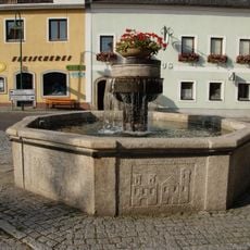
Gutau, municipality in Freistadt District, Upper Austria, Austria
Location: Freistadt District
Elevation above the sea: 589 m
Shares border with: Lasberg, Sankt Oswald bei Freistadt, Sankt Leonhard bei Freistadt, Schönau im Mühlkreis, Bad Zell, Tragwein, Pregarten, Kefermarkt
Email: gemeinde@gutau.ooe.gv.at
Website: http://gutau.at
GPS coordinates: 48.41750,14.61350
Latest update: March 18, 2025 12:03
Hammersmith Riedlhammer
2 km
Schloss Tannbach
1.3 km
Gutau Dyers Museum
102 m
Buchberg
6.2 km
Johannes Nepomuk-Kapelle
27 m
Parish church Gutau
67 m
Edt
1.2 km
Burgstall Stampfegg
5.3 km
Edelsitz Schallhof
3.5 km
Schwarze Madonna von Gutau
76 m
Statue Heiliger Leonhard in der Pfarrkiche Gutau
75 m
Statue Heiliger Josef in der Pfarrkiche Gutau
63 m
Statue Heiliger Wenzel in der Pfarrkiche Gutau
60 m
Pranger
196 m
Hauptgebäude der ehemaligen Hammerschmiede Riedlhammer, nunmehr Teil des Wasserkraftwerks
2 km
Gutau War Memorial
61 m
Marktplatz 6
72 m
Alte Schule Gutau
99 m
Pechölstein Hundsberg
2 km
Kalvarienbergkapelle
570 m
Opferschale
1 km
Plastik bei Erdmannsdorf 26
876 m
Pfarrhof Gutau
22 m
Relief Gemeindeamt Gutau
51 m
Mittelschule Gutau
236 m
OÖ. Burgenmuseum Reichenstein
5.6 km
Stall- und Wirtschaftsgebäude
1.9 km
Marktbrunnen
48 mReviews
Visited this place? Tap the stars to rate it and share your experience / photos with the community! Try now! You can cancel it anytime.
Discover hidden gems everywhere you go!
From secret cafés to breathtaking viewpoints, skip the crowded tourist spots and find places that match your style. Our app makes it easy with voice search, smart filtering, route optimization, and insider tips from travelers worldwide. Download now for the complete mobile experience.
A unique approach to discovering new places❞
— Le Figaro
All the places worth exploring❞
— France Info
A tailor-made excursion in just a few clicks❞
— 20 Minutes