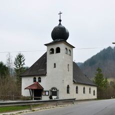
Molln, municipality in Kirchdorf District, Upper Austria, Austria
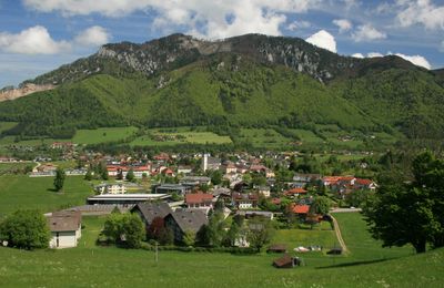
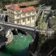
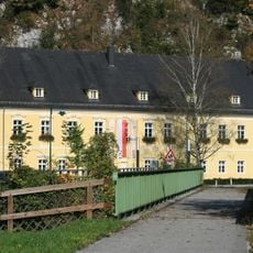
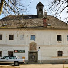
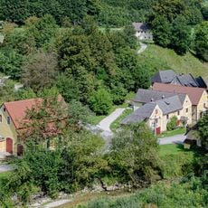
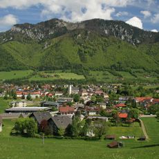
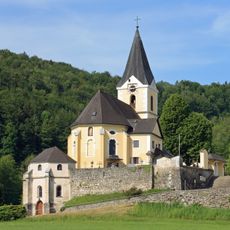
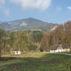
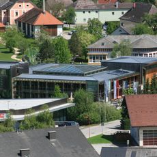
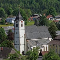
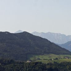
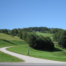
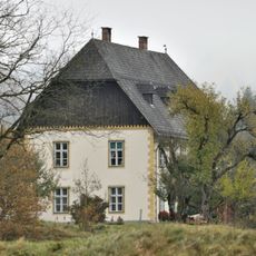
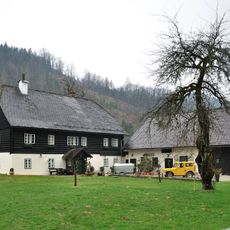
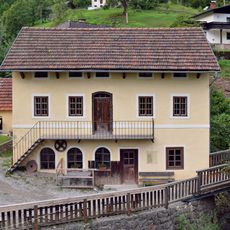
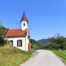
Molln is a market municipality in Kirchdorf District in the Upper Austria region, sitting at about 440 meters elevation. The town spans roughly 191 square kilometers with about 3,650 residents and shows traditional buildings alongside open spaces where regular local markets take place.
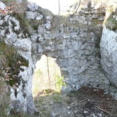
Molln developed from a farming village into a place where merchants and traders regularly gathered, which led to its designation as a market town. A significant historical event occurred in 1919 when a confrontation with poachers resulted in four deaths.
Molln carries its name from a long tradition of settlement and continues to function as a market town where residents and visitors gather. The regular markets and community life show how people here maintain local connections and keep traditional routines alive.
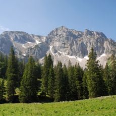
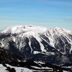
The terrain is mostly flat with gentle hills and easy to walk through; the central square offers parking and is the best starting point for exploration. The season strongly affects your visit, as winters bring snow and markets operate mainly during warmer months.
In 1919 Molln experienced a violent confrontation between poachers and villagers, one of the lesser known incidents of Austrian regional history. A small museum preserves the stories of this clash and the lives of local hunters.
The community of curious travelers
AroundUs brings together thousands of curated places, local tips, and hidden gems, enriched daily by 60,000 contributors worldwide.