Brandstetterkogel, Mountain summit in Neustadtl an der Donau, Austria.
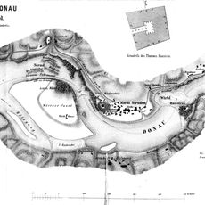
Brandstetterkogel is a mountain summit in the Strudengau region of Lower Austria, reaching 569 meters and forming the highest point of the Neustadtler Platte. The landscape is protected and crossed by various hiking routes, including the well-known Matrassteig trail.
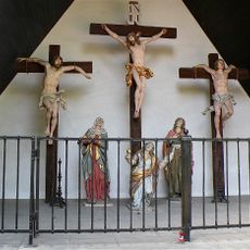
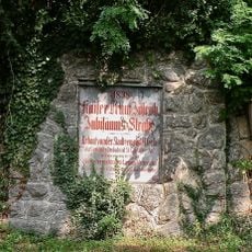
The mountain was long an important point in the local landscape, marked by the construction of the Viktoria-Adelheid-Schutzhütte at 532 meters, which became a central location along the Matrassteig. This shelter and the religious structures at the summit show how the region shaped its mountain landscape over generations.
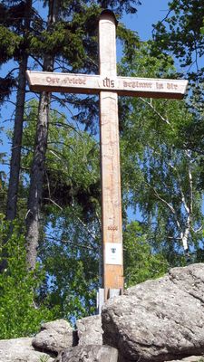
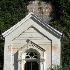
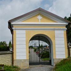
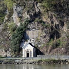
The cross at the summit and viewing platform reflect local traditions of marking mountain peaks with religious and observation structures. Visitors today can experience these markers as part of the region's mountain culture.
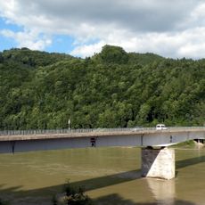
The summit is accessible via several hiking routes, particularly the Matrassteig trail starting from Greiner Donaubrücke with about 300 meters (1,000 feet) of elevation gain. The best hiking season is during warmer months when trails are in good condition and visibility from the top is clearer.
The mountain is part of the Danube Heights Circular Trail, a sprawling hiking network connecting some 60 villages across about 540 kilometers from Passau to Ybbs. This connection makes the summit an interesting point within a much larger regional hiking system.
The community of curious travelers
AroundUs brings together thousands of curated places, local tips, and hidden gems, enriched daily by 60,000 contributors worldwide.