
Pulkau, municipality in Hollabrunn District, Lower Austria, Austria
Location: Hollabrunn District
Elevation above the sea: 289 m
Shares border with: Schrattenthal, Zellerndorf, Röschitz, Meiseldorf, Sigmundsherberg, Weitersfeld
Email: gemeinde@pulkau.gv.at
Website: http://pulkau.gv.at
GPS coordinates: 48.70000,15.85000
Latest update: April 5, 2025 17:33
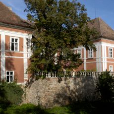
Schloss Schrattenthal
4.4 km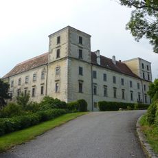
Schloss Kattau
4 km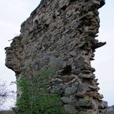
Burgruine Neudegg, Theras
3.1 km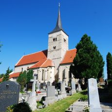
Pulkau Kirche
1.2 km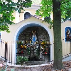
Pulkauer Bründl
1.4 km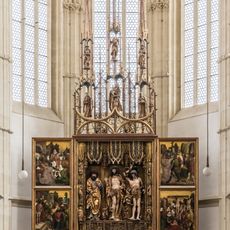
Flügelaltar Pulkau
984 m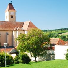
Pulkau Kirche Heiliges Blut
1.2 km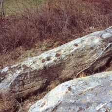
Leodagger Kalenderstein
2.3 km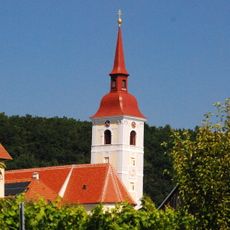
Pfarrkirche Waitzendorf
4.6 km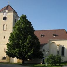
Saint Augustinus Church (Schrattenthal)
4.8 km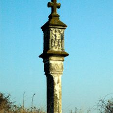
Pulkau Gerichtsmarterl
3.4 km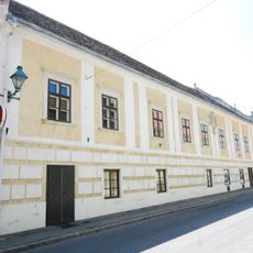
Pulkau Pöltingerhof
920 m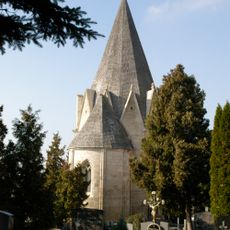
Pulkau Karner
1.2 km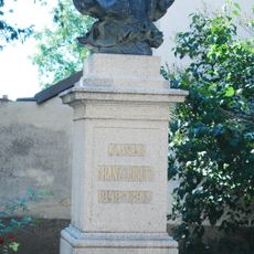
Pulkau Büste Kaiser Franz Joseph I.
982 m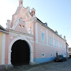
Pulkau Roter Hof
785 m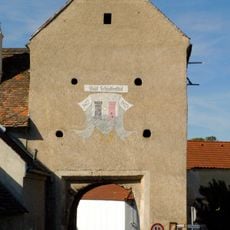
City wall of Schrattenthal
4.8 km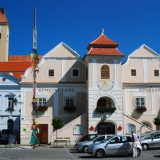
Pulkau Rathaus
945 m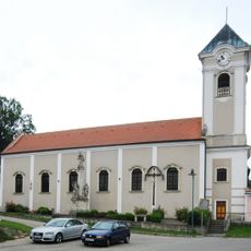
Pfarrkirche Kattau
4 km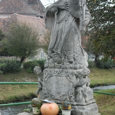
Pulkau Statue Johannes Nepomuk
837 m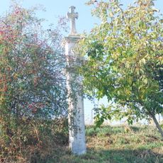
Pulkau Veronika-Marterl
1.6 km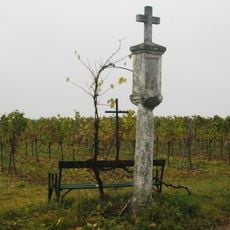
Pulkau Veits-Marterl
897 m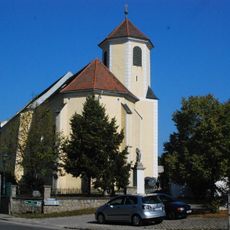
Pfarrkirche Obermarkersdorf
5.7 km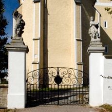
Friedhofsportal Obermarkersdorf
5.6 km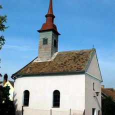
Rafing Kapelle
1.6 km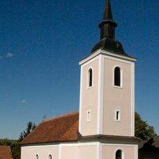
Ortskapelle Dietmannsdorf
4.5 km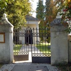
Friedhof, Grabdenkmäler und Friedhofsportal
4.9 km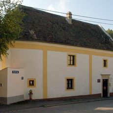
Pulkau Margarethenkapelle
730 m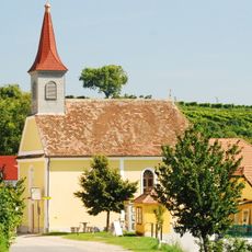
Leodagger Ortskapelle
2.4 kmReviews
Visited this place? Tap the stars to rate it and share your experience / photos with the community! Try now! You can cancel it anytime.
Discover hidden gems everywhere you go!
From secret cafés to breathtaking viewpoints, skip the crowded tourist spots and find places that match your style. Our app makes it easy with voice search, smart filtering, route optimization, and insider tips from travelers worldwide. Download now for the complete mobile experience.

A unique approach to discovering new places❞
— Le Figaro
All the places worth exploring❞
— France Info
A tailor-made excursion in just a few clicks❞
— 20 Minutes