Fallenbacherspitze, Mountain summit in Reutte district, Austria
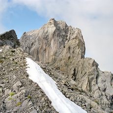
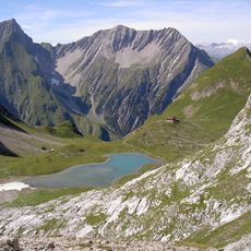
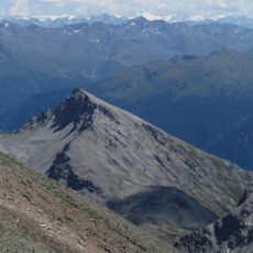
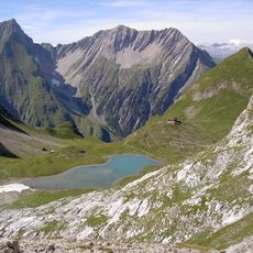
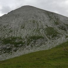
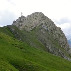
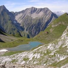
Fallenbacherspitze is a 2,723-metre rock summit in the Lechtal Alps of Tyrol, about eight kilometres south of Bach. Its massif includes the lower Gamskarlespitze (2,469 m) on the southeast ridge, and the summit itself is a plateau-like rock structure reached via the southwest ridge. The Alperschontal bounds it to the east and south.
The Fallenbacherspitze has no recorded first ascent in the sources; its remoteness and lack of marked trails have kept it rarely climbed. The simplest route, from Alperschontal via the Gamskarle and southwest ridge, is unsigned and rated UIAA I with one passage of II. The 2002 Alpine Club Guide by Dieter Seibert and the 1:25,000 Alpine Club map sheet 3/3 document the mountain.
The peak is known among regional climbing communities as a destination for experienced mountaineers. Local climbers use the southwest ridge route, passing on their knowledge of the mountain's challenges to others.
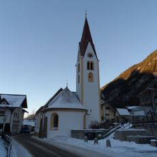
The ascent requires climbing experience and proper equipment, with the main route departing from the village of Bach through Alperschontal. Visitors should prepare for difficult conditions and start early to ensure sufficient daylight for the climb.
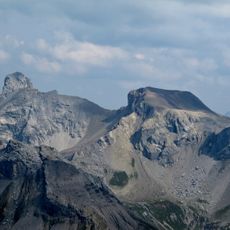
Within less than three kilometres of the summit stand the Fallenbacher Turm (2,704 m), the Feuerspitze (2,852 m), the Vorderseespitze (2,889 m) and the Freispitze (2,884 m). The massif also carries a lower secondary top on its southeast ridge, the Gamskarlespitze at 2,469 m.
The community of curious travelers
AroundUs brings together thousands of curated places, local tips, and hidden gems, enriched daily by 93,605 contributors worldwide.