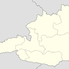
Mohnenfluh, Mountain summit in Vorarlberg, Austria
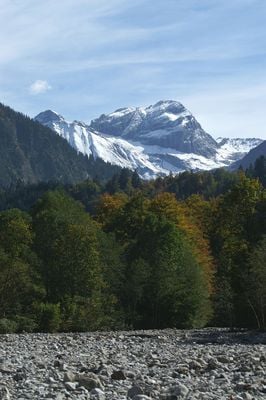
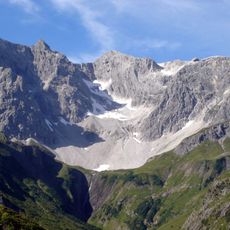
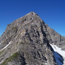
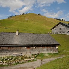
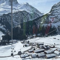
Mohnenfluh is a mountain summit in the Lechquellen range in Vorarlberg that rises to 2,544 meters and features exposed rock formations mixed with alpine meadows on its slopes. The terrain changes between rocky sections and open grassland, creating a varied landscape across the mountain's face.
The mountain's name comes from ancient Germanic terms related to high-altitude meadows, showing how long communities have been active in this alpine area. This linguistic origin reflects centuries of traditional use by local people in the region.
The mountain holds a place in local climbing traditions, with experienced guides sharing knowledge about seasonal conditions and routes with visitors. This connection to Alpine culture shapes how people approach and move through the landscape.
The climb goes through Mohnen Saddle at 2,315 meters, with marked trails starting from the towns of Oberlech and Kriegeralpe. Visitors should prepare for changing mountain conditions and adjust their gear and timing based on the season.
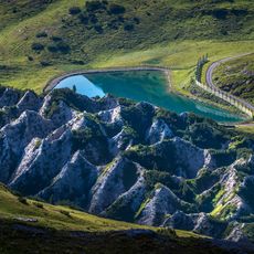
The Bregenzer Ach river starts on the eastern side of the mountain at around 2,400 meters, becoming a key water source for the wider area. This high-altitude spring origin often surprises visitors who expect river sources to form lower down.
The community of curious travelers
AroundUs brings together thousands of curated places, local tips, and hidden gems, enriched daily by 60,000 contributors worldwide.