Dreieckspitze, Mountain summit in East Tyrol and South Tyrol, Austria and Italy.
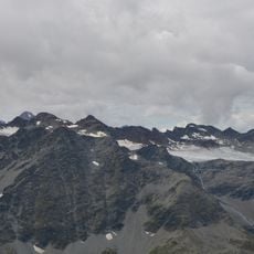
Dreieckspitze is a 3,031-meter (9,945-foot) mountain summit situated on the border between East Tyrol and South Tyrol. The peak can be reached through several marked trails that connect the surrounding valleys and municipalities.
Mountaineers began establishing climbing routes to the summit during the early 1900s, marking the beginning of organized ascents in this region. These early expeditions were part of the broader exploration of the Eastern Alps.
The name Dreieckspitze, "triangle peak", refers to the summit's shape; in Italian it is Triangolo di Riva, after the Riva valley below. The border ridge here also separates the Rieserferner-Ahrn Nature Park from the Hohe Tauern National Park, so walkers cross from one protected area into the other at the summit.
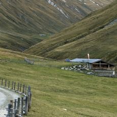
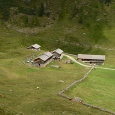
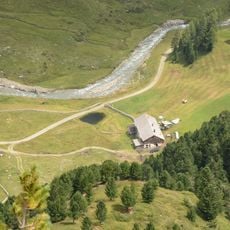
Most climbers start from Rein in Taufers in South Tyrol, where the routes are shorter than from East Tyrol. The usual path runs via the lower and upper Kofler Alm, the Kofler Seen, the Bärenluegscharte and the southeast ridge, taking about 4¼ hours; an alternative reaches the same saddle via the Knuttental and Sossenalm. The East Tyrol route from the Oberhausalm (1,786 m) via the Jagdhaus-Alm and the northwest edge of the Fleischbachkees takes about 5 hours.
During winter months the mountain transforms into a ski touring destination with several descent routes through surrounding valleys. These touring options provide access to remote slopes that offer a different experience than summer climbing visits.
The community of curious travelers
AroundUs brings together thousands of curated places, local tips, and hidden gems, enriched daily by 93,989 contributors worldwide.