Sankt Jakob in Defereggen, Alpine municipality in East Tyrol, Austria
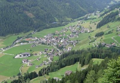
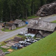
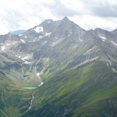
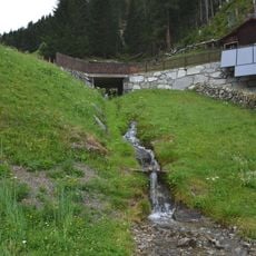
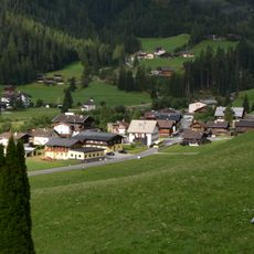
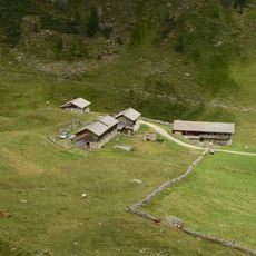
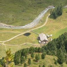
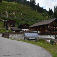
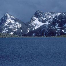
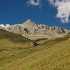
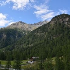
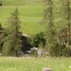
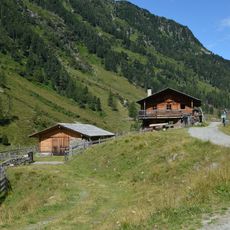
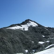
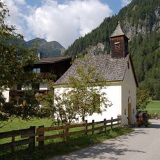
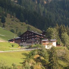
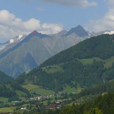
Sankt Jakob in Defereggen is a municipality in the Defereggen Valley in East Tyrol, situated at over 1,300 meters elevation within alpine terrain. The settlement consists of scattered buildings and farms distributed throughout the mountainous valley.
The settlement reached its peak population in the 19th century before experiencing a decline that eventually stabilized. This demographic shift mirrors the economic changes that affected many Alpine villages during that era.
The village maintains Tyrolean traditions through regular summer concerts performed by local music groups in the town center. These gatherings shape the character of the place during the warmer months.
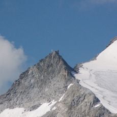
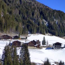
The location offers numerous outdoor activities with an extensive network of cross-country and downhill skiing options in the region. Visitors should be prepared for changeable mountain weather and bring appropriate gear for the season.
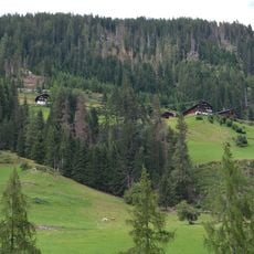
The Oberhauser Zirbenwald represents one of the largest stone pine forests in the Eastern Alps and offers a rare look at this specialized forest type. The forest shapes the landscape character through its distinctive vegetation and ecological role.
The community of curious travelers
AroundUs brings together thousands of curated places, local tips, and hidden gems, enriched daily by 60,000 contributors worldwide.