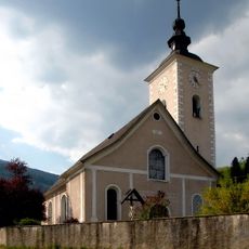
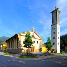
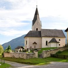
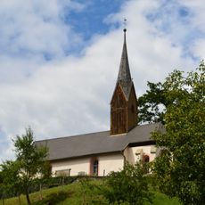
Mirnock, Mountain summit in Carinthia, Austria
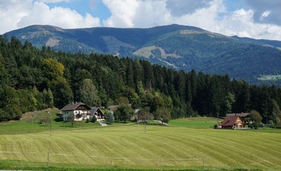
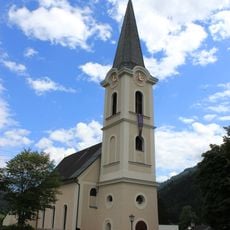
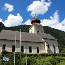
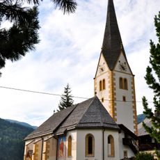
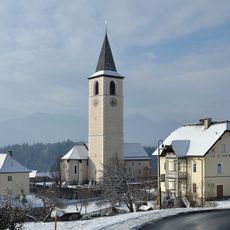
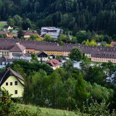
Mirnock is a mountain summit in the Gurktal Alps in Carinthia, Austria, reaching 2,110 meters above sea level, with open pasture slopes running up from the valleys below. The peak stands between the villages of Feld am See and Fresach, which serve as the main starting points for approaches to the top.
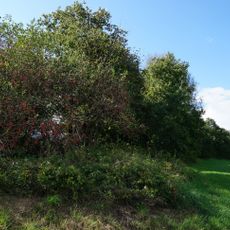
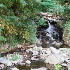
Archaeological finds on the slopes of Mirnock show that people have been using this area since prehistoric times. Over the centuries, Alpine farming took hold and gradually shaped the open landscape that can be seen today.
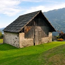
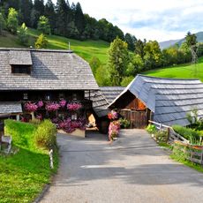
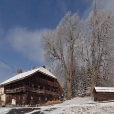
The mountain has been used for generations as summer grazing land, and the open slopes visitors walk through today are shaped by that ongoing practice. In summer, cattle and goats are still brought up to the high pastures, and the simple wooden huts scattered across the hillside belong to that tradition.
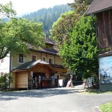
Marked hiking trails start from both Feld am See and Fresach, with signposts along the way guiding walkers toward the top. Mountain weather can change quickly, so bring waterproof layers and wear sturdy footwear regardless of how clear the sky looks at the start.
On a clear day, the summit offers views over several of Carinthia's large lakes at once, including the Millstätter See and the Ossiacher See. This reach across the landscape is one reason the peak has long served as a natural reference point for people moving through the valleys below.
The community of curious travelers
AroundUs brings together thousands of curated places, local tips, and hidden gems, enriched daily by 60,000 contributors worldwide.