Enable Location

We need your location to show you interesting places around you

Discover nearby places

Find interesting locations and hidden gems around you

Precise directions

Get accurate directions and distances to places

Your location is never shared with other users. It's only used when you tap the location button.

Kranzhorn

Log in to your account

Start exploring — it's free

Trusted by 66,477 travelers worldwide

Continue with Google
Continue with Apple
or

We will send you a code to connect

By continuing, you accept our Terms and Conditions and our Privacy Policy

Check your inbox

We've sent a pincode in your inbox. Please enter the code below.

Kranzhorn
Discussion Reviews 1 Photos
3.7k Popularity

Kranzhorn, Mountain summit at Bavaria-Tyrol border, Germany and Austria.

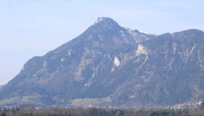
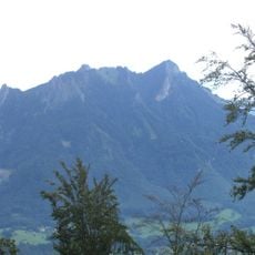
Kranzhorn is a mountain summit on the border between Bavaria and Tyrol, reachable on foot from both the German and Austrian sides. The top sits at 1,366 meters (4,482 ft) and looks out over the Inn Valley and the surrounding Alpine ridges.

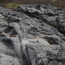
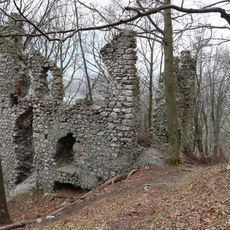
Kranzhorn has long served as a natural boundary marker between Germany and Austria, with painted rocks on the slopes still showing where the border runs. This role as a border point has stayed the same over many generations, making it one of the older landmarks in this part of the Alps.

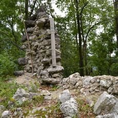
Two summit crosses stand side by side at the top, one wooden cross on the German side and a metal structure on the Austrian side. This visible border on the peak gives the place a character you rarely find on other mountains.

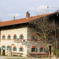
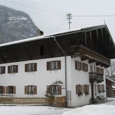
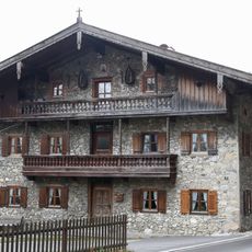
The hike can be started from Nussdorf on the German side or from Erleberg on the Austrian side, and both trailheads have parking nearby. The paths are clearly marked and pass through forest before opening up near the top, with the full round trip taking around four hours.

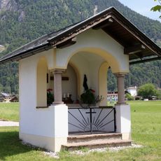
About halfway up the trail on the German side, the Kranzhorn Alm offers drinks and food, along with a small group of farm animals that visitors can stop and see. This hut breaks up the climb before the path opens into the more exposed upper section of the mountain.

The community of curious travelers

AroundUs brings together thousands of curated places, local tips, and hidden gems, enriched daily by 60,000 contributors worldwide.

Start exploring
Location
Location
Elevation above the sea
1,366 m
GPS coordinates
47.70052,12.18354
Latest update
March 3, 2026 14:01
Reviews
Share your experience

No review yet

Discussions
Start a discussion...

No discussion yet

« Kranzhorn - Mountain summit at Bavaria-Tyrol border, Germany and Austria » is provided by Around Us (aroundus.com). Images and texts are derived from Wikimedia project under a Creative Commons license. You are allowed to copy, distribute, and modify copies of this page, under the conditions set by the license, as long as this note is clearly visible.

Discover hidden gems everywhere you go!

From secret cafés to breathtaking viewpoints, skip the crowded tourist spots and find places that match your style. Our app makes it easy with voice search, smart filtering, route optimization, and insider tips from travelers worldwide. Download now for the complete mobile experience.

Around Us App Screenshot

A unique approach to discovering new places

Le Figaro

All the places worth exploring

France Info

A tailor-made excursion in just a few clicks

20 Minutes

Around Us
Travel Guide & Maps
Download

Send to your phone

QR Code
1

Open the camera app on your mobile.

2

Point at the QR code with your camera. A notification will appear.

3

Tap the notification to open the link.