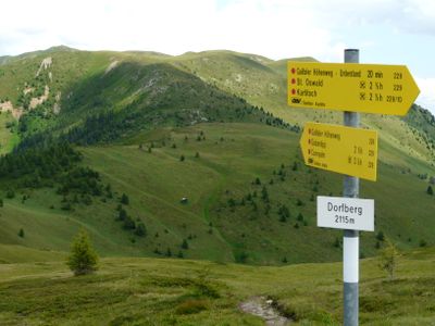
Gailtaler Höhenweg, Mountain hiking trail in Spittal an der Drau District, Austria.
The Gailtaler Höhenweg is a hiking trail that stretches about 150 kilometers through the Gailtaler Alps at elevations between 2000 and 2300 meters. The route connects different valley sections and offers constantly changing views across the surrounding mountains.
This route developed as a hiking path running parallel to the Karnischer Höhenweg, designed to connect the Marchgraben valley with the towns of Villach and Spittal. It emerged to make the mountain region more accessible to hikers.
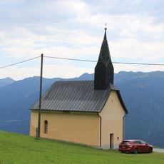
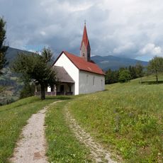
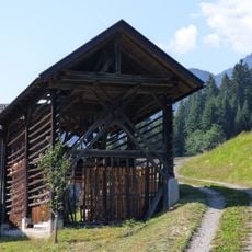
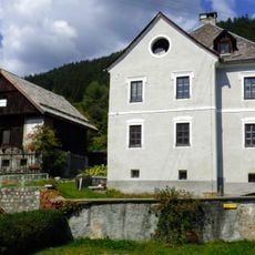
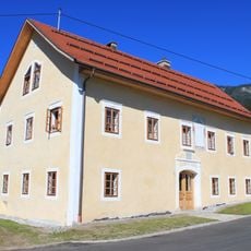
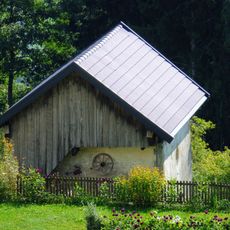
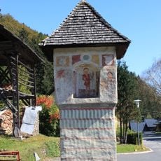
The mountain communities along the route live according to Alpine traditions that remain visible in how they build and maintain their huts and farms. You see this heritage reflected in the architecture and the way the land is used throughout the journey.
The full hike takes roughly ten days and demands good physical fitness as well as proper mountain equipment for steep terrain. Mountain huts and inns along the route provide places to rest and stay overnight.
At the eastern end of the trail, hikers can choose between two different routes to finish their journey. One path heads south toward Villach while the other continues north toward Spittal, allowing walkers to tailor their experience.
The community of curious travelers
AroundUs brings together thousands of curated places, local tips, and hidden gems, enriched daily by 60,000 contributors worldwide.