
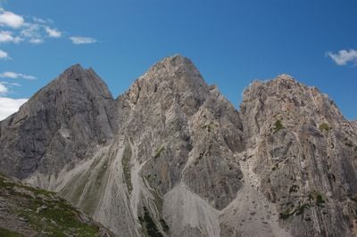
Gamswiesenspitze, mountain
Location: Lienz District
Elevation above the sea: 2,486 m
GPS coordinates: 46.76481,12.78430
Latest update: March 4, 2025 21:24
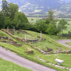
Kirchbichl excavation site, Lavant
5.2 km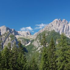
Spitzkofel
3.3 km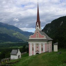
Pfarrkirche St. Ulrich
5.2 km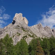
Laserzwand
1.6 km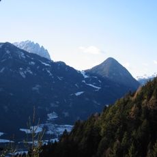
Rauchkofel
3.8 km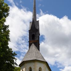
Filialkirche St. Peter und Paul, Lavant
5.1 km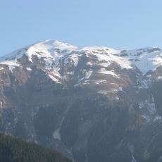
Riebenkofel
4.1 km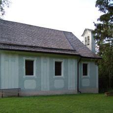
Kapelle St. Ulrich, Amlach
5.5 km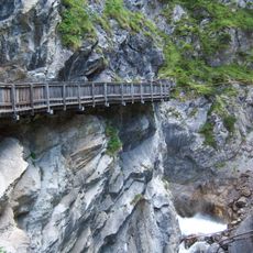
Galitzenklamm
4.4 km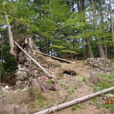
Burgruine Erenberg, Amlach
5.2 km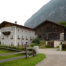
Dolomitenhof
5.5 km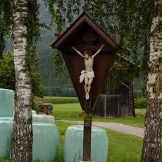
Wegkreuz Brunnenstraße
5.5 km
Spatenbach
5.1 km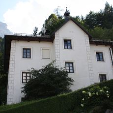
Lavant
5.4 km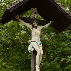
Goggkreuz
5.3 km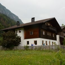
Bauernhaus Grossbacher
5.6 km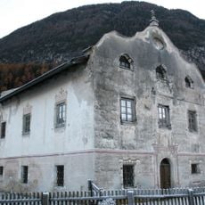
Kalerhof/Lanzenhof
5.6 km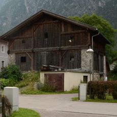
Wirtschaftsgebäude Dolomitenhof
5.5 km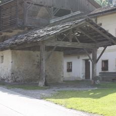
Lavant
5.5 km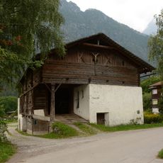
Wirtschaftsgebäude Heiseler
5.5 km
Bauernhaus Dolomitenhof
5.5 km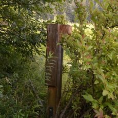
Wegkreuz Ulrichsbichl
5.5 km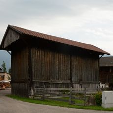
Moarharpfe
5.5 km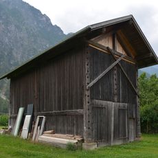
Stofflerharpfe
5.5 km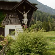
Wegkreuz gegenüber Seebachstraße 3
5.6 km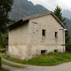
Kornkasten Grandl
5.5 km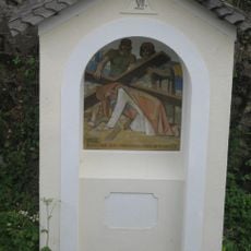
Kreuzweg
5.3 km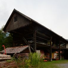
Grandlharpfe
5.5 kmReviews
Visited this place? Tap the stars to rate it and share your experience / photos with the community! Try now! You can cancel it anytime.
Discover hidden gems everywhere you go!
From secret cafés to breathtaking viewpoints, skip the crowded tourist spots and find places that match your style. Our app makes it easy with voice search, smart filtering, route optimization, and insider tips from travelers worldwide. Download now for the complete mobile experience.

A unique approach to discovering new places❞
— Le Figaro
All the places worth exploring❞
— France Info
A tailor-made excursion in just a few clicks❞
— 20 Minutes