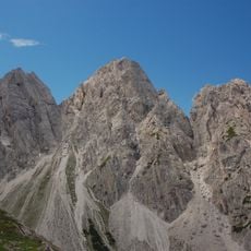
Laserzwand, Mountain summit in Lienz district, Austria.
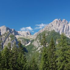
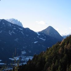
Laserzwand is a mountain summit in the Carnic and Gailtal Alps with steep limestone walls and reaches about 2600 meters high. Several climbing routes of varying difficulty cross the peak and surrounding ridges, making it accessible to different skill levels.
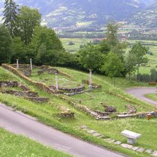
During the late 1800s, Alpine clubs began creating routes on this peak and linked mountain huts in the area to make climbing more organized. The pathways developed as part of the broader growth of mountain tourism in the region.
People in the area have long used these routes as part of their connection to the high Alps, and climbers who come here follow paths that have meaning in local mountaineering culture. The routes remain meeting points for those who want to test themselves in the mountains.
Climbing here requires proper safety equipment and solid experience with rope work, so preparation before arriving is essential. Starting early and checking weather conditions help ensure a safe and manageable day on the rock.
The mountain has two very different climbing sides that appeal to different skill levels. The western wall is steep and technical while the eastern approach rises gradually, allowing climbers to choose based on their experience.
The community of curious travelers
AroundUs brings together thousands of curated places, local tips, and hidden gems, enriched daily by 60,000 contributors worldwide.