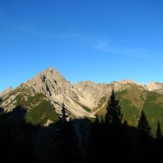
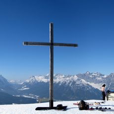
Freiungspitzen, Mountain summit in Karwendel Alps, Austria.
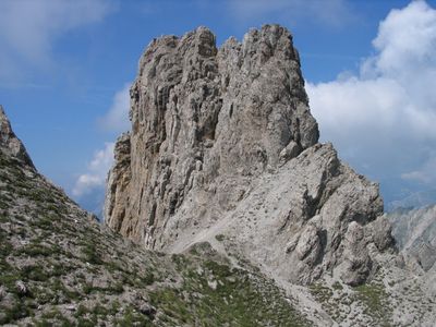
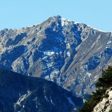
Freiungspitzen consists of three connected peaks in the Erlspitze Group of the Karwendel, with the western summit reaching 2,332 meters in elevation. This massif features characteristic dolomite rock formations and is linked to neighboring shelters by several hiking routes.
August and Fraja Lieber completed the first recorded ascent of these peaks between 1886 and 1890, establishing the initial climbing routes. This early exploration marked the beginning of systematic mountaineering development in the area.
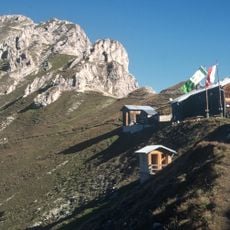
The area around this summit is part of the traditional Karwendel hiking network where mountaineers have long traveled between shelters along established routes. Visitors experience the ongoing role this mountain plays in connecting alpine communities.
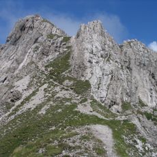
The main route via the Freiungen Ridge requires climbing experience and proper safety equipment due to exposed passages. Visitors should be comfortable in alpine conditions and able to seek shelter during bad weather.
The rock structures consist of main dolomite from the Norian age and display distinctive landforms with 228 meters of prominence from the Eppzirler Scharte. These geological features make the ridge a notable study site for alpine geologists.
The community of curious travelers
AroundUs brings together thousands of curated places, local tips, and hidden gems, enriched daily by 60,000 contributors worldwide.